Login

Si pozabil/a podatke za prijavo?

Cookies have to be accepted!
Your browser's cookie functionality is disabled. Please enable this functionality.

Not a member yet?

Register now
Login

Available for registred users only

Log in to use this feature.

Si pozabil/a podatke za prijavo?

Cookies have to be accepted!
Your browser's cookie functionality is disabled. Please enable this functionality.

Not a member yet?

Register now
Filter
Kategorije
Advanced filters
  • Dolžina (km)
  • Metri nadmorske višine
Shrani filter Reset filter

TrackRank

QRCode

Technical data

Dolžina85,1 km Metri nadmorske višine1472 m Way down1459 m Trajanje1 day 5 h Datum05.06.2010
Ocene Author Pokrajina Dejavnik zabave Kondicija Tehnika

Statistika

2337 Pogledi Ocene 103 Prenosi Povprečje
Rate
  • List z izleti
  • Prihod
  • Prenosi

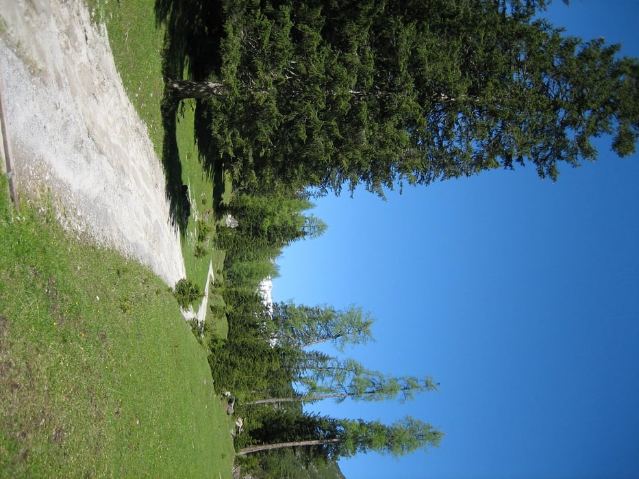
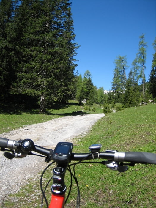
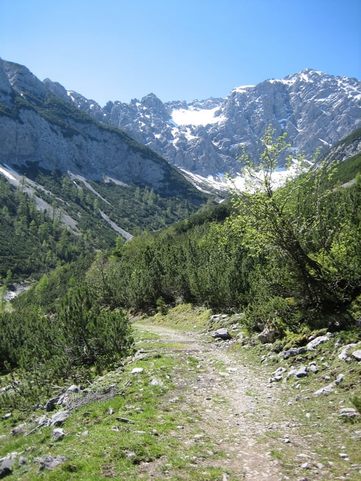
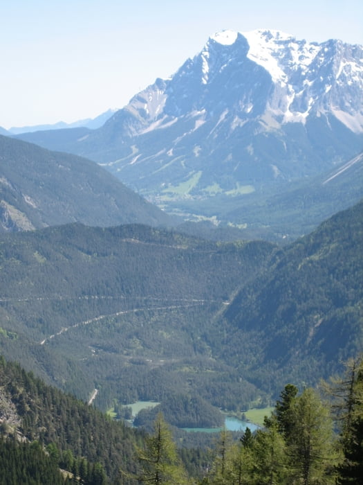
Sehr steile Auffahrt ins Tegestal. Viel zum schieben aber sonst herrlich Tour mit super Panorama!

Galerija izletov

Zemljevid in višinski profil izleta

  • Open Street Map
  • Google
Minimum height 714 m Maximum height 1849 m Prikaz podrobnosti

More about the tour author

guzzi_martin
Member since 2010

Send private message

Komentarji

scooter_werner on 04.08.2010

Dirstentrittkreuz

Ich fahre die Tour öfters vom Rasthof Nassereith aus und kombiniere sie mit der Auffahrt zur Haiminger Alm auf der anderen Talseite. Hat dann gesamt ca. 2200 hm und 60km.
Aber geschoben habe ich zum Dirstentritkreuz noch nie. Ja, die Aufahrt ist sehr steil, aber bei entsprechender Kondition durchgehend fahrbar!
Daniel82 on 31.07.2013

Dirstentrittkreuz in Transalp einbauen

Das Dirstentrittkreuz lässt sich auch gut in <a title="Dirstentrittkreuz" href="http://transalp-veranstalter.de/alpenpaesse/dirstentrittkreuz/">Transalp</a> integrieren. Nach dem Fernpass biegt man rechts ins Tegestal ab und kommt im Gurgltal bei Imst wieder raus. Durch die zusätzlichen Höhenmeter spart man sich die flachen Kilometer im Tal.

Poti GPS

Trackpoints
  • GPX / Garmin Map Source (gpx) download
  • TCX / Garmin Training Center® (tcx) download
  • CRS / Garmin Training Center® (crs) download
  • Google Earth (kml) download
  • G7ToWin (g7t) download
  • TTQV (trk) download
  • Overlay (ovl) download
  • Fugawi (txt) download
  • Kompass (DAV) Track (tk) download
  • List z izleti (pdf) download
  • Original file of the author (tcx) download

More about the tour author

guzzi_martin
Member since 2010

Send private message
Share track
Add to my favorites
Remove from my favorites
Edit tags
My score
Rate
Izlet: Tegestal - Dirstentrittkreuz - Sinnesbrunn
Vrsta: Gorsko kolo
Dolžina: 85,1 km
Evaluated on:
Trajanje:
Day(s)
Hour(s)
Minute(s)
Ocena: Pokrajina Dejavnik zabave Kondicija Tehnika