
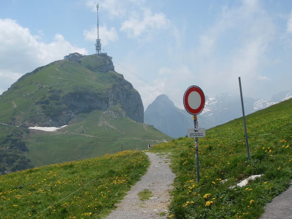

Von Nüziders, dem Radweg entlang Fischweiher, nach Feldkirch, weiter zum Illspitz und zum Grenzübergang Meiningen, dann nach Oberriet und zum Kobelwald, wo die Bergetappe anfängt, dann über tolle Gegend zum Hohen Kasten, fast die ganze Strecke ist Asphalt die letzten 500m kann das Bike nicht mitgenommen werden, die Abfahrt erfolgt zuerst dem selben Weg entlang bis zur Alpe, kurz dannach geht es rechts weg nach Rüthi und dem Radweg entlang zum Grenzübergang nach Bangs und zurück nach Vorarlberg wieder dem Radweg entlang bis Nüziders
Zemljevid in višinski profil izleta
Minimum height 415 m
Maximum height 1797 m
More about the tour author
|
|
wueschi |
Komentarji

Poti GPS
Trackpoints-
GPX / Garmin Map Source (gpx) download
-
TCX / Garmin Training Center® (tcx) download
-
CRS / Garmin Training Center® (crs) download
-
Google Earth (kml) download
-
G7ToWin (g7t) download
-
TTQV (trk) download
-
Overlay (ovl) download
-
Fugawi (txt) download
-
Kompass (DAV) Track (tk) download
-
List z izleti (pdf) download
-
Original file of the author (tcx) download
More about the tour author
|
|
wueschi |
Add to my favorites
Remove from my favorites
Edit tags
Open track
My score
Rate