


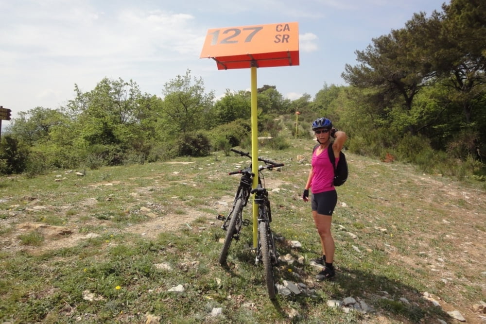
Straße hoch nach Conna. Dort an der Kirche ausgeschilderten Wanderweg nach Villa Faraldi eingeschlagen. Auf dieser Strecke ist MTB notwendig. Der Höhenwanderweg ist über den durchweg breiten Weg aber gut erreichbar. Oben ein Stück den Berg entlang bis es links runter nach Villa Faraldi und Tovo geht.
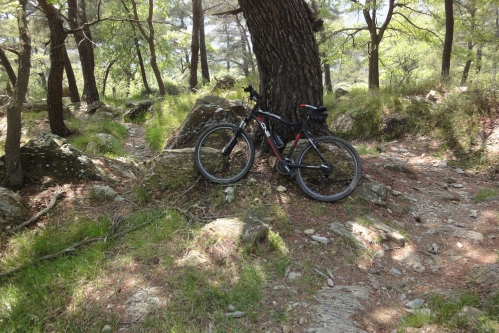
Dieser Weg ist ein echter Singletrail. Für richtige MTB-Freaks sicherlich ein Erlebnis und fahrbar. Wir sind runtergegangen. Es würde uns interessieren, ob der Weg wirklich fahrbar ist und bitten um kurze Rückmeldung.
Der Rest ist wieder gut befahrbare Straße.
Solo tra Conna e Villa Faraldi e necessario usare un MTB. Il resto della strada e anche per bici normale.
Galerija izletov


Zemljevid in višinski profil izleta
Minimum height 9 m
Maximum height 565 m
More about the tour author
|
|
GuenterM |
Komentarji

Poti GPS
Trackpoints-
GPX / Garmin Map Source (gpx) download
-
TCX / Garmin Training Center® (tcx) download
-
CRS / Garmin Training Center® (crs) download
-
Google Earth (kml) download
-
G7ToWin (g7t) download
-
TTQV (trk) download
-
Overlay (ovl) download
-
Fugawi (txt) download
-
Kompass (DAV) Track (tk) download
-
List z izleti (pdf) download
-
Original file of the author (gpx) download
More about the tour author
|
|
GuenterM |
Add to my favorites
Remove from my favorites
Edit tags
Open track
My score
Rate