


Dieser Mountainbike-Track beginnt an der Küste in Marina di Ugento am Iberotel Apulia, führt durchs Hinterland nach Santa Maria di Leuca für die Römer „finibus terrae“, am Ende der Welt, wo Adriatisches und Ionisches Meer zusammen treffen. Zurück zum Ausgangspunkt geht es über die Küstenstraße. Der Asphaltanteil liegt bei 97 %.
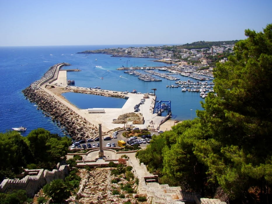
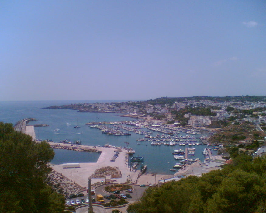
Im Hinterland lädt die historische Masseria Palombara zu einer Rast ein. Wunderschön ist die Aussicht am Ende der Welt, die eindeutig durch einen Leuchtturm markiert ist. Die Küstenstraße bietet immer wieder Abstecher zum Meer mit Steilküste oder weiter nördlich mit Sandstrand.
Im Hinterland lädt die historische Masseria Palombara zu einer Rast ein. Wunderschön ist die Aussicht am Ende der Welt, die eindeutig durch einen Leuchtturm markiert ist. Die Küstenstraße bietet immer wieder Abstecher zum Meer mit Steilküste oder weiter nördlich mit Sandstrand.
Galerija izletov
Zemljevid in višinski profil izleta
Minimum height 3 m
Maximum height 128 m
More about the tour author

|
nobird |
Komentarji

Dieser Mountainbike-Track beginnt in Marina di Ugento am Iberotel Apulia.
Poti GPS
Trackpoints-
GPX / Garmin Map Source (gpx) download
-
TCX / Garmin Training Center® (tcx) download
-
CRS / Garmin Training Center® (crs) download
-
Google Earth (kml) download
-
G7ToWin (g7t) download
-
TTQV (trk) download
-
Overlay (ovl) download
-
Fugawi (txt) download
-
Kompass (DAV) Track (tk) download
-
List z izleti (pdf) download
-
Original file of the author (gpx) download
More about the tour author
|
|
nobird |
Add to my favorites
Remove from my favorites
Edit tags
Open track
My score
Rate