Login

Si pozabil/a podatke za prijavo?

Cookies have to be accepted!
Your browser's cookie functionality is disabled. Please enable this functionality.

Not a member yet?

Register now
Login

Available for registred users only

Log in to use this feature.

Si pozabil/a podatke za prijavo?

Cookies have to be accepted!
Your browser's cookie functionality is disabled. Please enable this functionality.

Not a member yet?

Register now
Filter
Kategorije
Advanced filters
  • Dolžina (km)
  • Metri nadmorske višine
Shrani filter Reset filter

TrackRank

QRCode

Technical data

Dolžina41,5 km Metri nadmorske višine859 m Way down869 m Trajanje03:50 h:m Datum26.09.2011
Ocene Author Pokrajina Dejavnik zabave Kondicija Tehnika

Statistika

1992 Pogledi Ocene 178 Prenosi Povprečje
Rate
  • List z izleti
  • Prihod
  • Prenosi

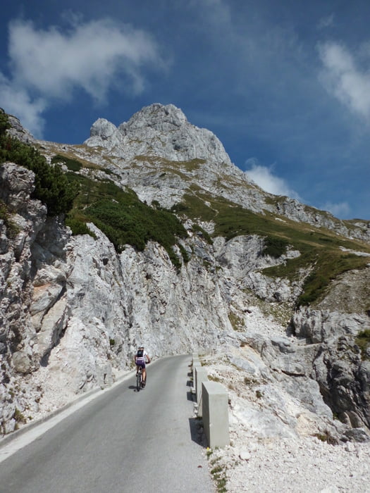
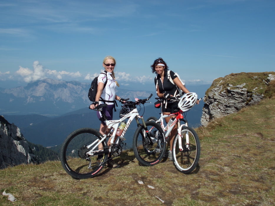
Technisch einfache Asphalttour,die aber aufgrund der großen Zahl an Höhenmeter gute kondition erfordert .. Es ist die höchst befahrene Mautstrasse Sloveniens. Im ganzen Tourenverlauf, insbesondere aber gegen Ende, fantastische Fahrt im hochalpinen Ambiente mit super Ausblick..

Leute es ist einfach Spitze und das strampeln lohnt sich.

Galerija izletov

Zemljevid in višinski profil izleta

  • Open Street Map
  • Google
Minimum height 1095 m Maximum height 2009 m Prikaz podrobnosti

More about the tour author

Mountainbikegirl
Member since 2011

Send private message

Komentarji

Poti GPS

Trackpoints
  • GPX / Garmin Map Source (gpx) download
  • TCX / Garmin Training Center® (tcx) download
  • CRS / Garmin Training Center® (crs) download
  • Google Earth (kml) download
  • G7ToWin (g7t) download
  • TTQV (trk) download
  • Overlay (ovl) download
  • Fugawi (txt) download
  • Kompass (DAV) Track (tk) download
  • List z izleti (pdf) download
  • Original file of the author (gpx) download

More about the tour author

Mountainbikegirl
Member since 2011

Send private message
Share track
Add to my favorites
Remove from my favorites
Edit tags
My score
Rate
Izlet: Soca -Tal- Mangat -Tour
Vrsta: Gorsko kolo
Dolžina: 41,5 km
Evaluated on:
Trajanje:
Day(s)
Hour(s)
Minute(s)
Ocena: Pokrajina Dejavnik zabave Kondicija Tehnika