


Bischofsgrün verlässt man durch eine rasante Abfahrt in Richtung Fichtelgebirgsstrasse.
Nach Überquerung dieser und des weissen Mains´s erwartet euch ab dem Ort Glasermühle eine heftige Steigung.
Kurz vor Wülfersreuth hat man dann einen wunderschönen Blick über das Fichtelgebirge.
Bei Gefrees dann der nächste heftige Anstieg. Ein Anstieg der sich über ca. 8 Kilometer bis nach Zell im Fichtelgebirge erstreckt.
Kurz hinter Oppenroth kann man sich im eiskalten Saalequellwasser abkühlen.
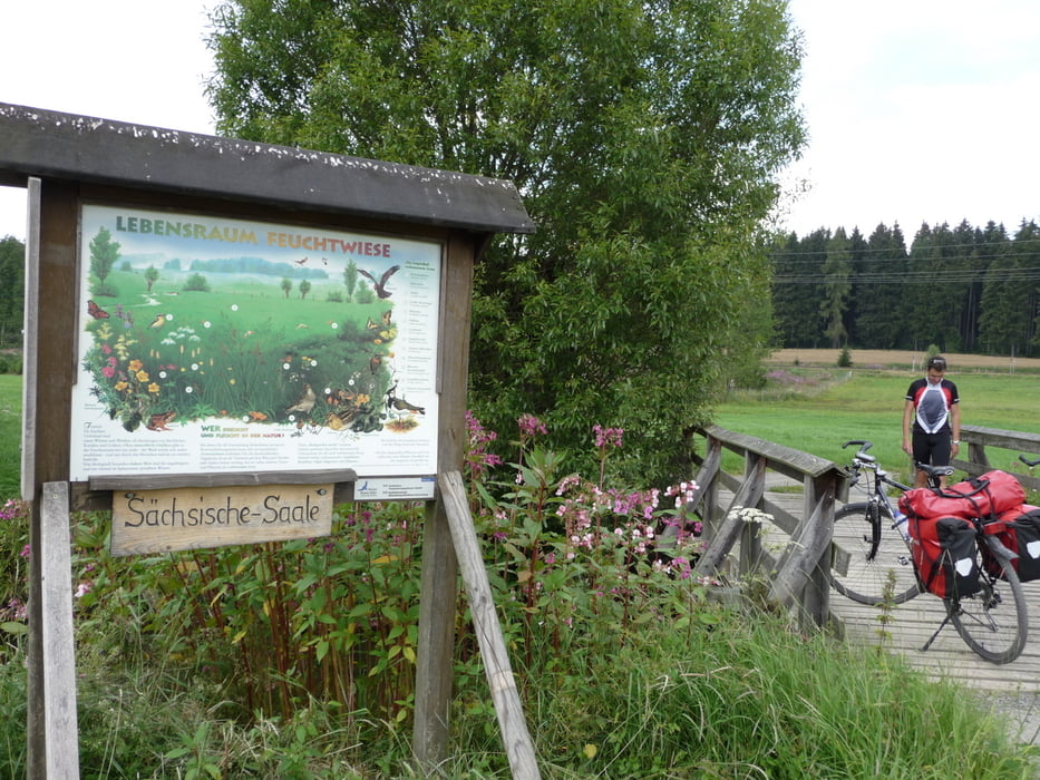
Ab hier bis nach Hof, muß man immerwieder mit schlechten Wegen rechnen.
Galerija izletov
Zemljevid in višinski profil izleta
Minimum height 476 m
Maximum height 708 m
More about the tour author
|
|
lolue |
Komentarji

Poti GPS
Trackpoints-
GPX / Garmin Map Source (gpx) download
-
TCX / Garmin Training Center® (tcx) download
-
CRS / Garmin Training Center® (crs) download
-
Google Earth (kml) download
-
G7ToWin (g7t) download
-
TTQV (trk) download
-
Overlay (ovl) download
-
Fugawi (txt) download
-
Kompass (DAV) Track (tk) download
-
List z izleti (pdf) download
-
Original file of the author (gpx) download
More about the tour author
|
|
lolue |
Add to my favorites
Remove from my favorites
Edit tags
Open track
My score
Rate