
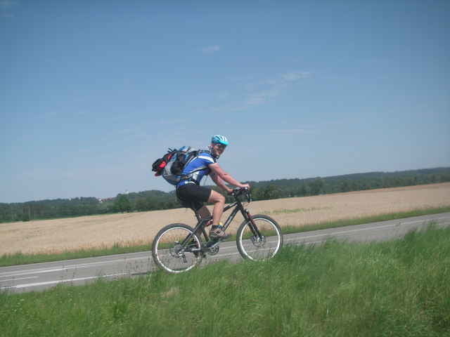

Diese Transalp-Tour beginnt nicht wie meist üblich am Rand der Alpen, sondern bereits bei Stuttgart. Leider musste ich aus gesundheitlichen Gründen die Tour am 4ten Tage abbrechen. Da die Höhendaten im Track somit ab dem 4ten Tage teilweise nicht vorhanden sind, stimmt das Tourenprofil nicht genau.
Obwohl wir die Tour nicht komplett gehren sind, stelle ich die Touretappen trotzdem ins Netz. Die Tour selbst ist eine Mischung aus vielen veröffentlichen Touren.
Das Roadboog sieht folgendermaßen aus:
Tag 1
Metzingen-Legau
132km
1100Hm
Tag 2
Legau- Oberstdorf
75km
530Hm
Tag 3
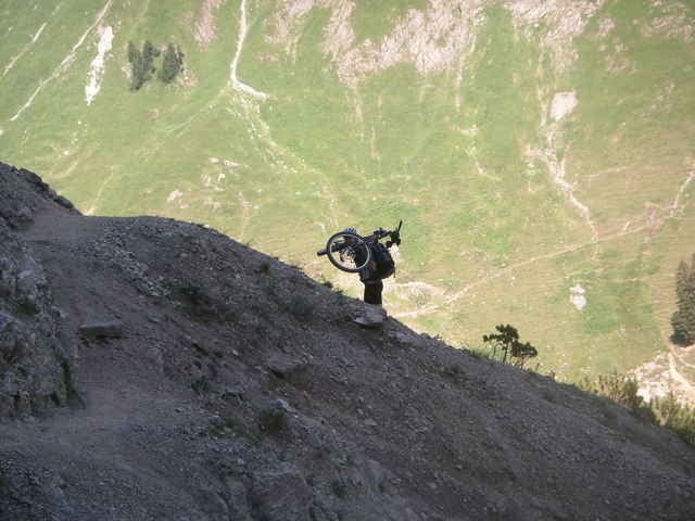
Oberstdorf - Kristberg
63 km
2231 HM
Tag 4
Kristberg - Bodenalpe
61 km
2100 HM
Tag 5
Bodenalpe – Sesvenna Hütte
52 km
2163 HM
Tag 6
Sesvenna Hütte - Morter
70 km
1610 HM
Tag 7
Morter – Sankt Gertraud
40 km
2245 HM
Tag 8
Sankt Gertraud – Rifugio Graffer
54 km
2495 HM
Tag 9
Rifugio Graffer - Gardasee
66km
1349 HM
Obwohl wir die Tour nicht komplett gehren sind, stelle ich die Touretappen trotzdem ins Netz. Die Tour selbst ist eine Mischung aus vielen veröffentlichen Touren.
Das Roadboog sieht folgendermaßen aus:
Tag 1
Metzingen-Legau
132km
1100Hm
Tag 2
Legau- Oberstdorf
75km
530Hm
Tag 3
Oberstdorf - Kristberg
63 km
2231 HM
Tag 4
Kristberg - Bodenalpe
61 km
2100 HM
Tag 5
Bodenalpe – Sesvenna Hütte
52 km
2163 HM
Tag 6
Sesvenna Hütte - Morter
70 km
1610 HM
Tag 7
Morter – Sankt Gertraud
40 km
2245 HM
Tag 8
Sankt Gertraud – Rifugio Graffer
54 km
2495 HM
Tag 9
Rifugio Graffer - Gardasee
66km
1349 HM
Galerija izletov
Zemljevid in višinski profil izleta
Minimum height 341 m
Maximum height 2310 m
More about the tour author

|
bomibln |
Komentarji

Poti GPS
Trackpoints-
GPX / Garmin Map Source (gpx) download
-
TCX / Garmin Training Center® (tcx) download
-
CRS / Garmin Training Center® (crs) download
-
Google Earth (kml) download
-
G7ToWin (g7t) download
-
TTQV (trk) download
-
Overlay (ovl) download
-
Fugawi (txt) download
-
Kompass (DAV) Track (tk) download
-
List z izleti (pdf) download
-
Original file of the author (gpx) download
More about the tour author
|
|
bomibln |
Add to my favorites
Remove from my favorites
Edit tags
Open track
My score
Rate