


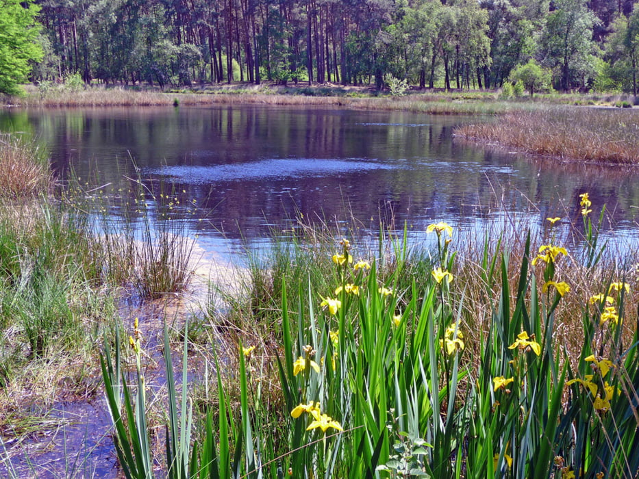
Es handelt sich um eine landschaftlich abwechslungsreiche und sehr schöne Tour, die relativ neu als Strecke der "Wander.Wasser.Welt." des Maas/Schwalm/Nette-Gebietes hervorragend ausgeschildert ist. Der Reiz der Tour liegt u.a. darin, dass schmale und nicht so frequentierte Wege benutzt werden.
Galeria trasy
Mapa trasy i profil wysokości
Minimum height -38 m
Maximum height 86 m
More about the tour author
|
|
hadihe |
Komentarze

A 61 von Mönchengladbach kommend Richtung Venlo Ausfahrt 3 - rechts auf B 221 bis zum Kreisverkehr - dort rechts (1.Ausfahrt) auf der L 29 wieder bis zum Kreisverkehr (nach JET-Tankstelle) links (3.Ausfahrt) in die Gerberstraße. Sie wird zur Grenzwaldstraße und dann zur Knorrstraße. In Höhe Haus Galgenvenn Parkmöglichkeiten.
GPS tracks
Trackpoints-
GPX / Garmin Map Source (gpx) download
-
TCX / Garmin Training Center® (tcx) download
-
CRS / Garmin Training Center® (crs) download
-
Google Earth (kml) download
-
G7ToWin (g7t) download
-
TTQV (trk) download
-
Overlay (ovl) download
-
Fugawi (txt) download
-
Kompass (DAV) Track (tk) download
-
Karta trasy (pdf) download
-
Original file of the author (gpx) download
More about the tour author
|
|
hadihe |
Add to my favorites
Remove from my favorites
Edit tags
Open track
My score
Rate