Login

Zapomniałeś swój login?

Cookies have to be accepted!
Your browser's cookie functionality is disabled. Please enable this functionality.

Not a member yet?

Register now
Login

Available for registred users only

Log in to use this feature.

Zapomniałeś swój login?

Cookies have to be accepted!
Your browser's cookie functionality is disabled. Please enable this functionality.

Not a member yet?

Register now
Filter
Kategorie
Advanced filters
  • Długość (km)
  • Wysokość
Zapisz filtr Reset filter

TrackRank

QRCode

Technical data

Długość79,5 km Wysokość931 m Way down897 m Czas trwania06:00 h:m Data21.04.2017
Oceny Author Krajobraz Czynnik zadowolenia Kondycja Technika

Statystyka

277 Widoki Oceny 34 Downloads / Pliki do pobrania Przeciętnie
Rate
  • Karta trasy
  • Dojazd
  • Downloads / Pliki do pobrania

Galeria trasy

Mapa trasy i profil wysokości

  • Open Street Map
  • Google
Minimum height -110 m Maximum height 106 m Widok szczegółowy

More about the tour author

tbachner
Member since 2007

Send private message

Komentarze

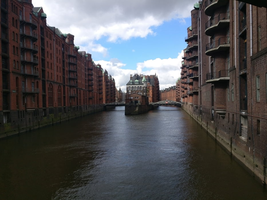
Die Tag startet auf der Elbinsel Wilhelmsburg unweitet der Fährstation Ernst-August-Schleuse. Da es sich bei der Tour um eine Rundtour bzw. Acht handelt, kann auch an jedem anderen Ort in die Route eingestiegen werden.


GPS tracks

Trackpoints
  • GPX / Garmin Map Source (gpx) download
  • TCX / Garmin Training Center® (tcx) download
  • CRS / Garmin Training Center® (crs) download
  • Google Earth (kml) download
  • G7ToWin (g7t) download
  • TTQV (trk) download
  • Overlay (ovl) download
  • Fugawi (txt) download
  • Kompass (DAV) Track (tk) download
  • Karta trasy (pdf) download
  • Original file of the author (gpx) download

More about the tour author

tbachner
Member since 2007

Send private message
Share track
Add to my favorites
Remove from my favorites
Edit tags
My score
Rate
Trasa: Ein Tag in Hamburg
Rodzaj: Rower trekkingowy
Długość: 79,5 km
Evaluated on:
Czas trwania:
Day(s)
Hour(s)
Minute(s)
Ocena: Krajobraz Czynnik zadowolenia Kondycja Technika