Login

Zapomniałeś swój login?

Cookies have to be accepted!
Your browser's cookie functionality is disabled. Please enable this functionality.

Not a member yet?

Register now
Login

Available for registred users only

Log in to use this feature.

Zapomniałeś swój login?

Cookies have to be accepted!
Your browser's cookie functionality is disabled. Please enable this functionality.

Not a member yet?

Register now
Filter
Kategorie
Advanced filters
  • Długość (km)
  • Wysokość
Zapisz filtr Reset filter

TrackRank

QRCode

Technical data

Długość94,6 km Wysokość568 m Way down518 m Czas trwania08:00 h:m Data25.05.2017
Oceny Author Krajobraz Czynnik zadowolenia Kondycja Technika

Statystyka

116 Widoki Oceny 26 Downloads / Pliki do pobrania Przeciętnie
Rate
  • Karta trasy
  • Dojazd
  • Downloads / Pliki do pobrania

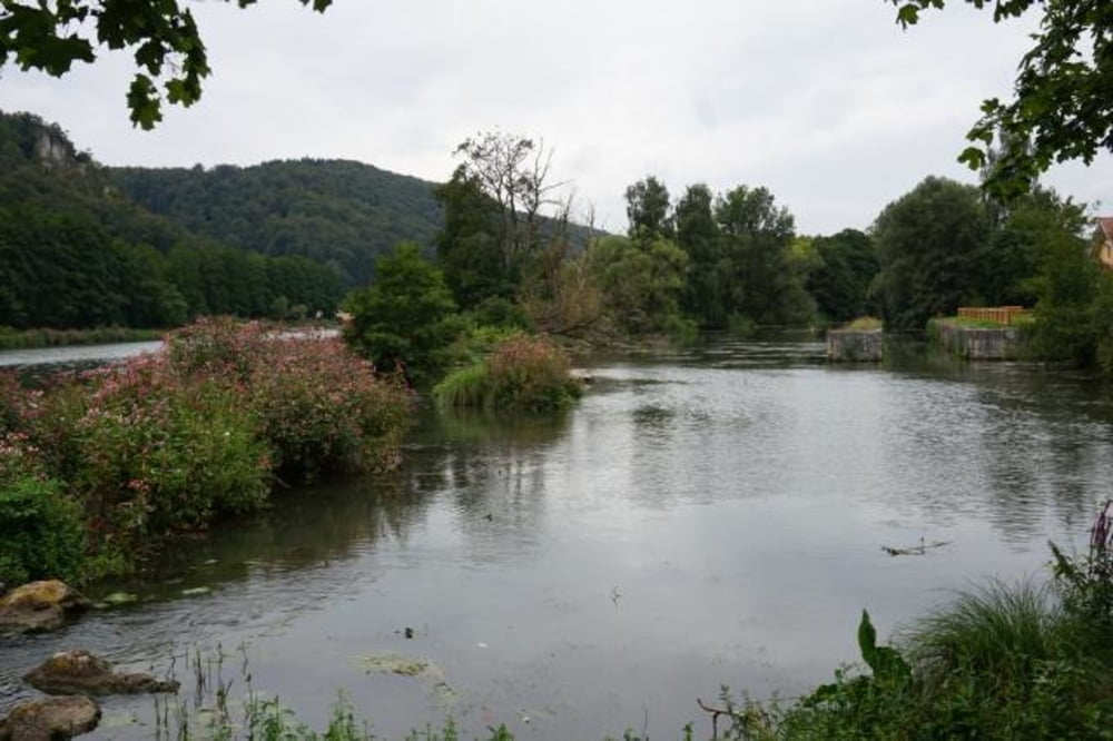
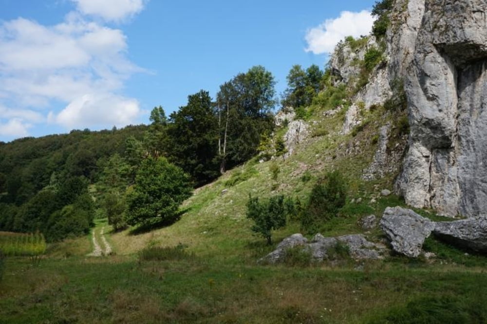
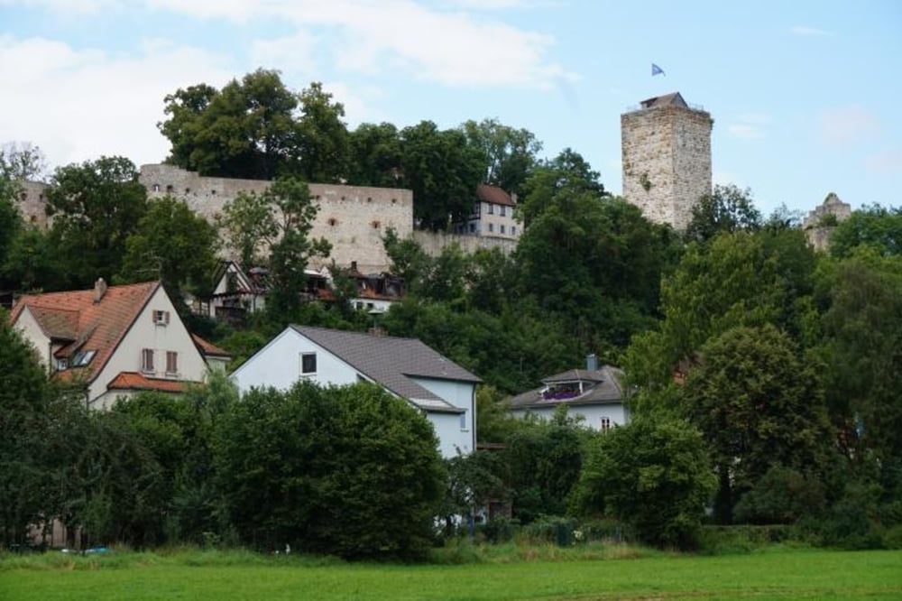
Zweite Etappe unsere Altmühl-Kocher-Tal Tour 2016, am 10.8.2016 von Beilngries nach Treuchtlingen/Wettelsheim

Beilngries-Kinding-Kipfenberg-Eichstätt-Burgstein-Dollnstein-Solnhofen-Pappenheim-Treuchtlingen 

Schöne, genussvolle Strecke ohne nenenswerte Steigungen. Rast und Aufstieg zum Burgstein empfehlenswert.

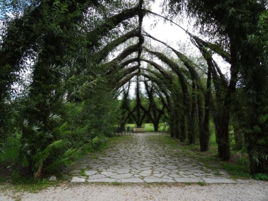
Übernachtung in Wettelsheim im Gasthof Sonne (gehört zum Gasthof Goldenes Lamm, sehr gute Küche) 


Galeria trasy

Mapa trasy i profil wysokości

  • Open Street Map
  • Google
Minimum height 365 m Maximum height 460 m Widok szczegółowy

More about the tour author

tsx56
Member since 2010

Send private message

Komentarze

GPS tracks

Trackpoints
  • GPX / Garmin Map Source (gpx) download
  • TCX / Garmin Training Center® (tcx) download
  • CRS / Garmin Training Center® (crs) download
  • Google Earth (kml) download
  • G7ToWin (g7t) download
  • TTQV (trk) download
  • Overlay (ovl) download
  • Fugawi (txt) download
  • Kompass (DAV) Track (tk) download
  • Karta trasy (pdf) download
  • Original file of the author (gpx) download

More about the tour author

tsx56
Member since 2010

Send private message
Share track
Add to my favorites
Remove from my favorites
Edit tags
My score
Rate
Trasa: Altmühl-Kocher-Etappe-2
Rodzaj: Trasy rowerowe
Długość: 94,6 km
Evaluated on:
Czas trwania:
Day(s)
Hour(s)
Minute(s)
Ocena: Krajobraz Czynnik zadowolenia Kondycja Technika