


Von Homburg Schwarzenbach fuhr ich durch das schöne Blies- und Taubental nach Kirkel-Neuhäusel.
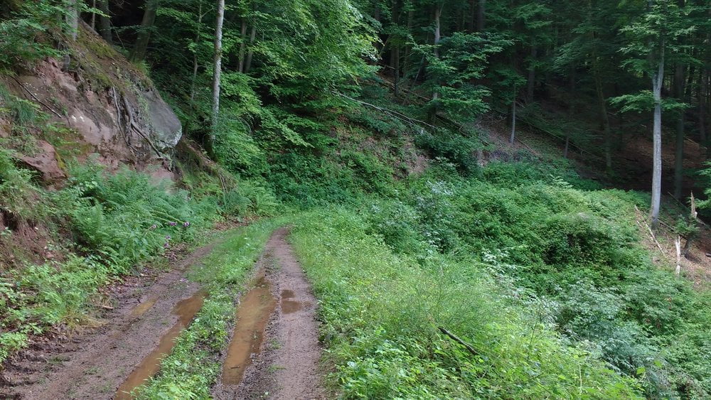
Am Abend fuhr ich durch das Kirkeler Tal in Richtung Lautzkirchen. Ich bog allerdings in den Kirkeler Wald ab und machte eine landschaftlich schönen Schlenker über den Berg nach Bierbach an der Blies bevor ich durch das Bliestal zu meinem Ausgangspunkt zurückkullerte.
Am Abend fuhr ich durch das Kirkeler Tal in Richtung Lautzkirchen. Ich bog allerdings in den Kirkeler Wald ab und machte eine landschaftlich schönen Schlenker über den Berg nach Bierbach an der Blies bevor ich durch das Bliestal zu meinem Ausgangspunkt zurückkullerte.
Further information at
https://de.wikipedia.org/wiki/Biosph%C3%A4renreservat_BliesgauGaleria trasy
Mapa trasy i profil wysokości
Minimum height 229 m
Maximum height 353 m
More about the tour author
|
|
Pheinz |
Komentarze

Start und Ziel in Homburg Schwarzenbach.
GPS tracks
Trackpoints-
GPX / Garmin Map Source (gpx) download
-
TCX / Garmin Training Center® (tcx) download
-
CRS / Garmin Training Center® (crs) download
-
Google Earth (kml) download
-
G7ToWin (g7t) download
-
TTQV (trk) download
-
Overlay (ovl) download
-
Fugawi (txt) download
-
Kompass (DAV) Track (tk) download
-
Karta trasy (pdf) download
-
Original file of the author (gpx) download
More about the tour author
|
|
Pheinz |
Add to my favorites
Remove from my favorites
Edit tags
Open track
My score
Rate