


mittelschwerer Alpencross, jedoch fahrtechnisch eher gemäßigter Alpencross auf leichten Trails und Schotterwegen,Anfang August 2017 in 7 Etappen gefahren, 1 Schiebepassage ca. 1 Std.bis Brogles Alm
1. Etappe Mittenwald-Steinach a.Brenner 74 km 1218 hm
2. Etappe Steinach a.Brenner-Sterzing 44,5 km 1516 hm
3. Etappe Sterzing-St. Maddalena 65 km 1661 hm
4. Etappe St. Maddalena-Bozen 54 km 1700 hm mit 1,Std.Schiebepassage
5. Etappe Bozen-Graun 37 km 975 hm
6. Etappe Graun--Spormaggiore 51 km 1827 hm
7. Etappe Spormaggiore-Riva 62 km 1079 hm
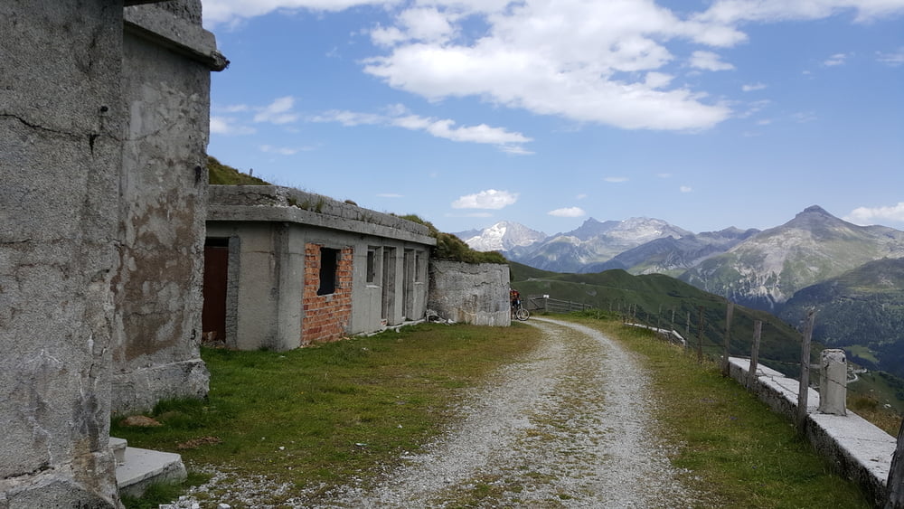
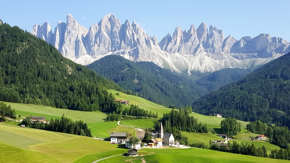
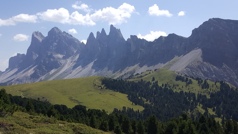
Highlights alte Militärstrasse Brennergrenzkamm mit Mussolini Bunker, gigantische Landschaft St.Maddalena u. Brogles Alm, Seiser Alm, Grauner Joch, Molvenosee
auf der 1. Etappe hoher Teeranteil, aber zum Einrollen sehr gut
auf der 3. Etappe sind wir bei Mittewald (vor Franzenfeste) einen Ausweichweg zu der herkömmlichen Route gefahren, da wegen einer großen Baustelle kein Durchkommen möglich war, Radweg war auch gesperrt, Umfahrung trotz Verbotsschild war gut, siehe Track
Galeria trasy


Mapa trasy i profil wysokości
Minimum height 62 m
Maximum height 2202 m
More about the tour author

|
ABC65 |
Komentarze

A 7, Füssen, Reute, Ehrwald Garmisch Partenkirchen oder
A95 München-Garmisch-Partenkirchen, Bundestrasse B11 München-Innsbruck-Brenner oder die Queralpenstrasse B 23 Oberammergau-Garmisch-Partenkirchen
Startpunkt Mittenwald
GPS tracks
Trackpoints-
GPX / Garmin Map Source (gpx) download
-
TCX / Garmin Training Center® (tcx) download
-
CRS / Garmin Training Center® (crs) download
-
Google Earth (kml) download
-
G7ToWin (g7t) download
-
TTQV (trk) download
-
Overlay (ovl) download
-
Fugawi (txt) download
-
Kompass (DAV) Track (tk) download
-
Karta trasy (pdf) download
-
Original file of the author (gpx) download
More about the tour author
|
|
ABC65 |
Add to my favorites
Remove from my favorites
Edit tags
Open track
My score
Rate