


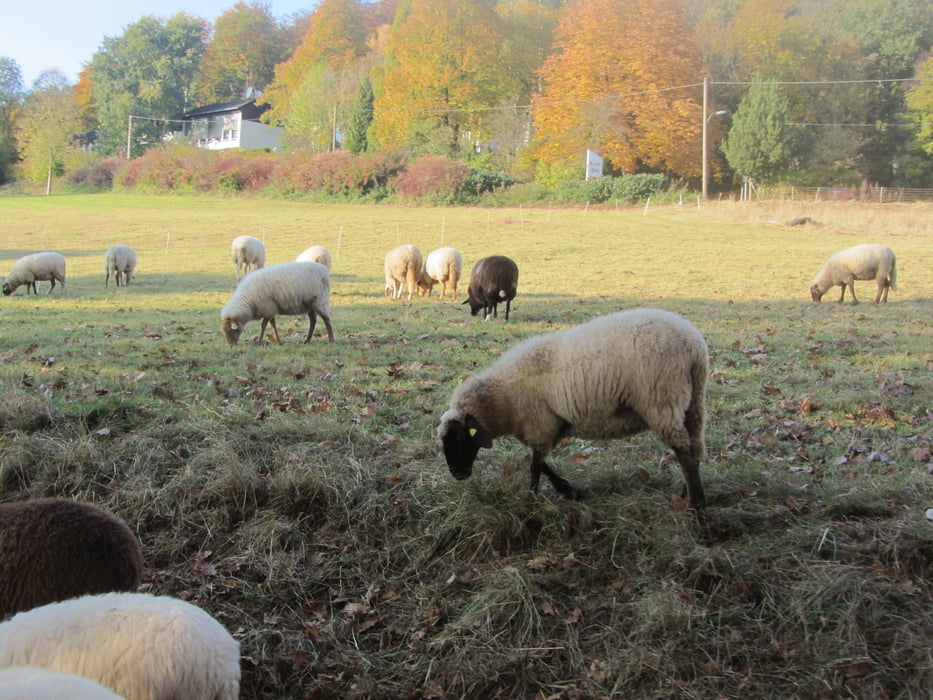
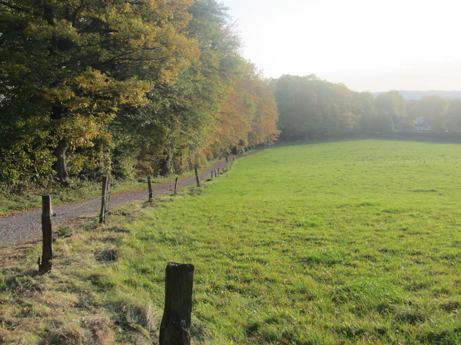
Die diesjährige Saisonabschlussfahrt sollte uns mit dem Wind durch das schöne Münsterland in Richtung Bielefeld führen und je nach Wetter, Lust und Laune weiter bis zur Weser.
Die Etappenorte im einzelnen:
- Dortmund
- Hamm
- Ahlen
- Gütersloh
- Bielefeld
- Herford
- Porta Westfalica
Die Track wurde mit der Naviki App Option Rennrad erzeugt und führt demnach ausschließlich über asphaltierte Wege. In der Regel sind das Nebenstraßen. Zwischen Bielefeld und Herford führt der Weg leider über eine vielbefahrene Hauptstraße.
Further information at
http://thorsten-bachner.de/radfahrenGaleria trasy
Mapa trasy i profil wysokości
Minimum height 35 m
Maximum height 151 m
More about the tour author
|
|
tbachner |
Komentarze

Die Tour beginnt unweit des Dortmunder Hauptbahnhofs in der Dortmunder City und endet am am Bahnhof Porta Westfalica . Weitere Bahnhöfe an der Strecke liegen in Hamm, Heessen, Ahlen, Gütersloh, Bielefeld, Herford und Bad Oenhausen.
Reiseinformationen gibt es bei der Fahrplanauskunft der Deutschen Bahn oder beim Verkehrsverbund Rhein-Ruhr.
GPS tracks
Trackpoints-
GPX / Garmin Map Source (gpx) download
-
TCX / Garmin Training Center® (tcx) download
-
CRS / Garmin Training Center® (crs) download
-
Google Earth (kml) download
-
G7ToWin (g7t) download
-
TTQV (trk) download
-
Overlay (ovl) download
-
Fugawi (txt) download
-
Kompass (DAV) Track (tk) download
-
Karta trasy (pdf) download
-
Original file of the author (gpx) download
More about the tour author
|
|
tbachner |
Add to my favorites
Remove from my favorites
Edit tags
Open track
My score
Rate