


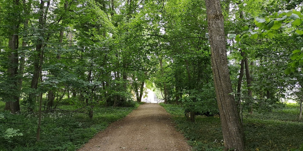
Wer den Besuch der Wegkapelle mit einer sehr kurzen Wanderung durch den Wald verbinden will dem sei dieser Weg empfohlen.
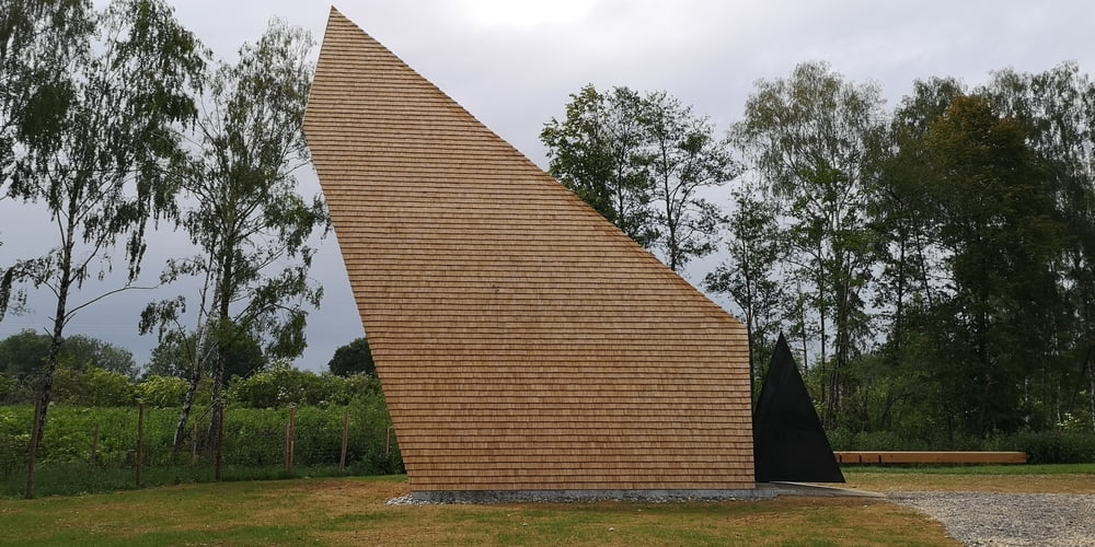
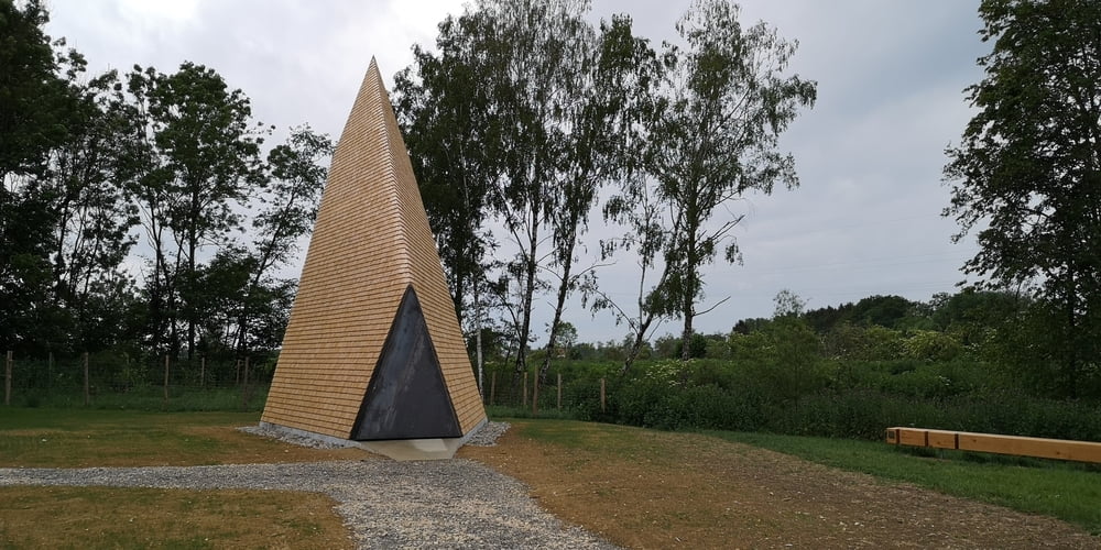
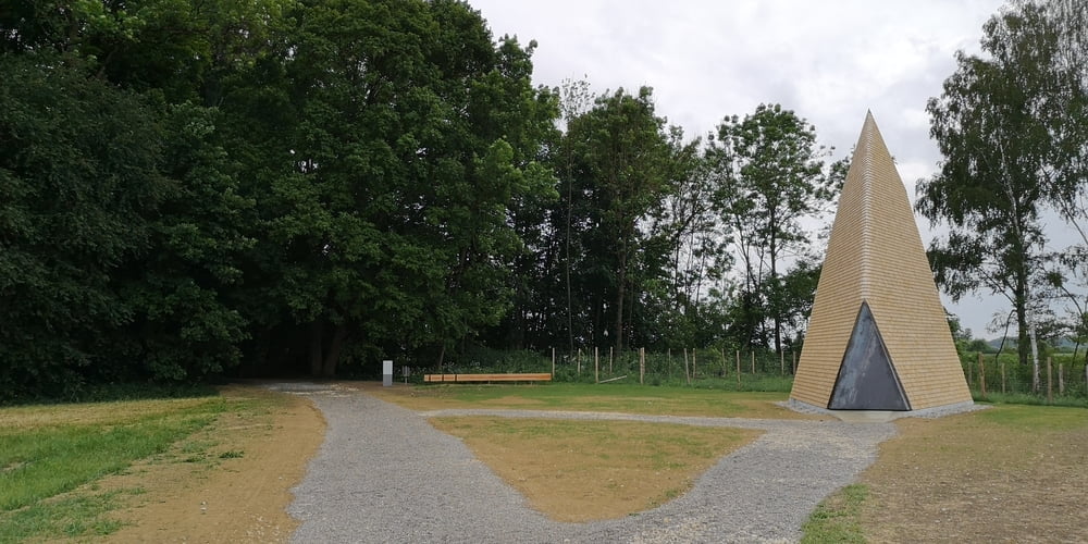
https://7kapellen.de/die-kapellen/kapelle-ludwigschwaige-von-alen-jasarevic/
Die meisten werden an der Ludwigschwaige vorbei bis zum gekiesten Parkplatz fahren.
Wer den Weg durch den Wald nehmen will der fährt auf der Straße von der Bäldleschwaige kommend noch etwas weiter zu einem Wäldchen. Wenn die Straße das Wäldchen wieder verläßt dann Parken. Rechts ist ein Feldweg bei dem man Parken kann. Es reicht für ein bis zwei Autos.
Galeria trasy
Mapa trasy i profil wysokości
Minimum height 394 m
Maximum height 425 m
More about the tour author
|
|
JoachimDief |
Komentarze

Von Rettingen zur Bäldlesschwaige fahren und dann weiter auf der Straße bleiben bis ein Wäldchen kommt. Wenn die Straße das Wäldchen wieder verlässt beginnt rechts der Feldweg zur Kapelle.
GPS tracks
Trackpoints-
GPX / Garmin Map Source (gpx) download
-
TCX / Garmin Training Center® (tcx) download
-
CRS / Garmin Training Center® (crs) download
-
Google Earth (kml) download
-
G7ToWin (g7t) download
-
TTQV (trk) download
-
Overlay (ovl) download
-
Fugawi (txt) download
-
Kompass (DAV) Track (tk) download
-
Karta trasy (pdf) download
-
Original file of the author (gpx) download
More about the tour author
|
|
JoachimDief |
Add to my favorites
Remove from my favorites
Edit tags
Open track
My score
Rate