Login

Zapomniałeś swój login?

Cookies have to be accepted!
Your browser's cookie functionality is disabled. Please enable this functionality.

Not a member yet?

Register now
Login

Available for registred users only

Log in to use this feature.

Zapomniałeś swój login?

Cookies have to be accepted!
Your browser's cookie functionality is disabled. Please enable this functionality.

Not a member yet?

Register now
Filter
Kategorie
Advanced filters
  • Długość (km)
  • Wysokość
Zapisz filtr Reset filter

TrackRank

QRCode

Technical data

Długość13,9 km Wysokość175 m Way down176 m Czas trwania02:00 h:m Data18.05.2021
Oceny Author Krajobraz Czynnik zadowolenia Kondycja Technika

Statystyka

178 Widoki Oceny 2 Downloads / Pliki do pobrania Przeciętnie
Rate
  • Karta trasy
  • Dojazd
  • Downloads / Pliki do pobrania
Nordic Walking Tour 15S Ab Wanderparkplatz in Undeloh 
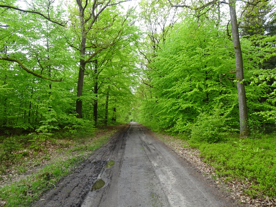
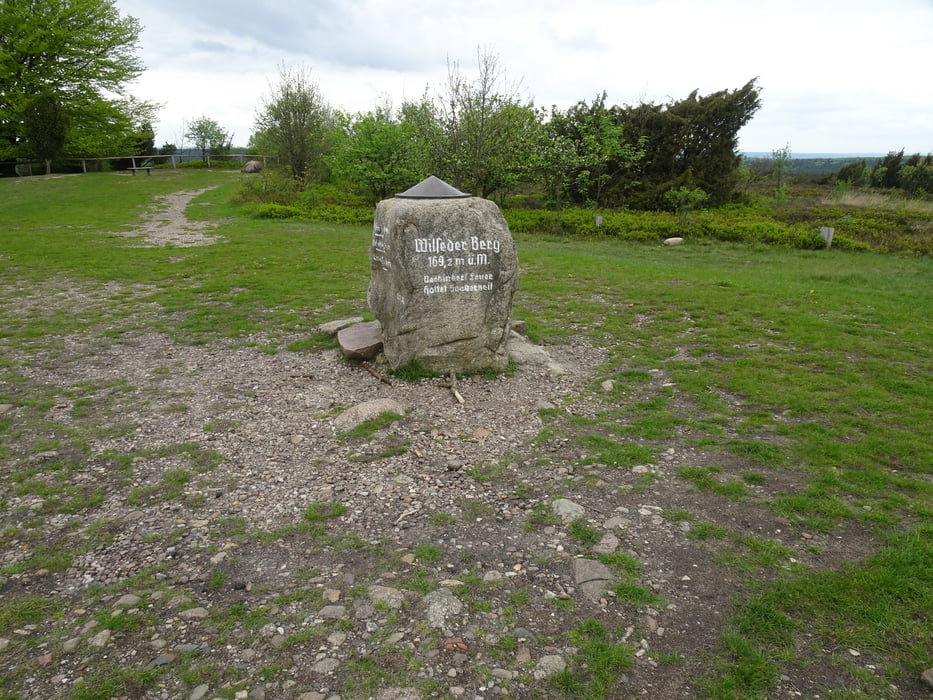
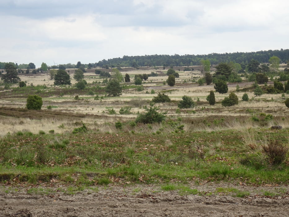
Gut ausgeschilderte Wege. Schöner Ausblick über die Heidelandschaft Wilseder Berg. Lässt sich gut laufen.

Galeria trasy

Mapa trasy i profil wysokości

  • Open Street Map
  • Google
Minimum height 45 m Maximum height 166 m Widok szczegółowy

More about the tour author

Blaubart126
Member since 2013

Send private message

Komentarze

Wanderparkplatz:

Undeloh, Wilseder Straße

GPS tracks

Trackpoints
  • GPX / Garmin Map Source (gpx) download
  • TCX / Garmin Training Center® (tcx) download
  • CRS / Garmin Training Center® (crs) download
  • Google Earth (kml) download
  • G7ToWin (g7t) download
  • TTQV (trk) download
  • Overlay (ovl) download
  • Fugawi (txt) download
  • Kompass (DAV) Track (tk) download
  • Karta trasy (pdf) download
  • Original file of the author (gpx) download

More about the tour author

Blaubart126
Member since 2013

Send private message
Share track
Add to my favorites
Remove from my favorites
Edit tags
My score
Rate
Trasa: Undeloh 15S
Rodzaj: Nordic walking
Długość: 13,9 km
Evaluated on:
Czas trwania:
Day(s)
Hour(s)
Minute(s)
Ocena: Krajobraz Czynnik zadowolenia Kondycja Technika