Login

Zapomniałeś swój login?

Cookies have to be accepted!
Your browser's cookie functionality is disabled. Please enable this functionality.

Not a member yet?

Register now
Login

Available for registred users only

Log in to use this feature.

Zapomniałeś swój login?

Cookies have to be accepted!
Your browser's cookie functionality is disabled. Please enable this functionality.

Not a member yet?

Register now
Filter
Kategorie
Advanced filters
  • Długość (km)
  • Wysokość
Zapisz filtr Reset filter

TrackRank

QRCode

Technical data

Długość69,4 km Wysokość413 m Way down417 m Czas trwania04:20 h:m Data14.04.2022
Oceny Author Krajobraz Czynnik zadowolenia Kondycja Technika

Statystyka

150 Widoki Oceny 1 Download Przeciętnie
Rate
  • Karta trasy
  • Dojazd
  • Downloads / Pliki do pobrania
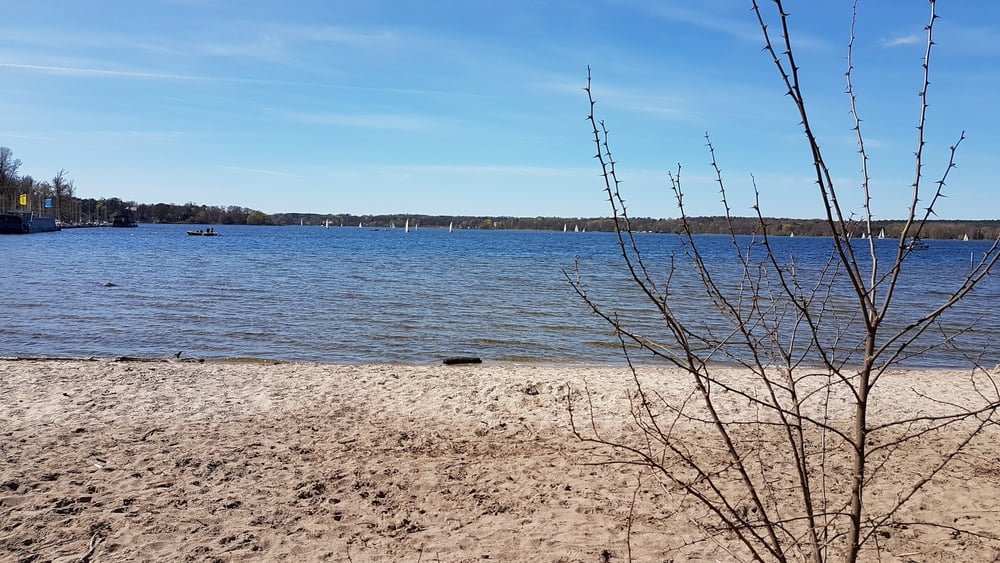
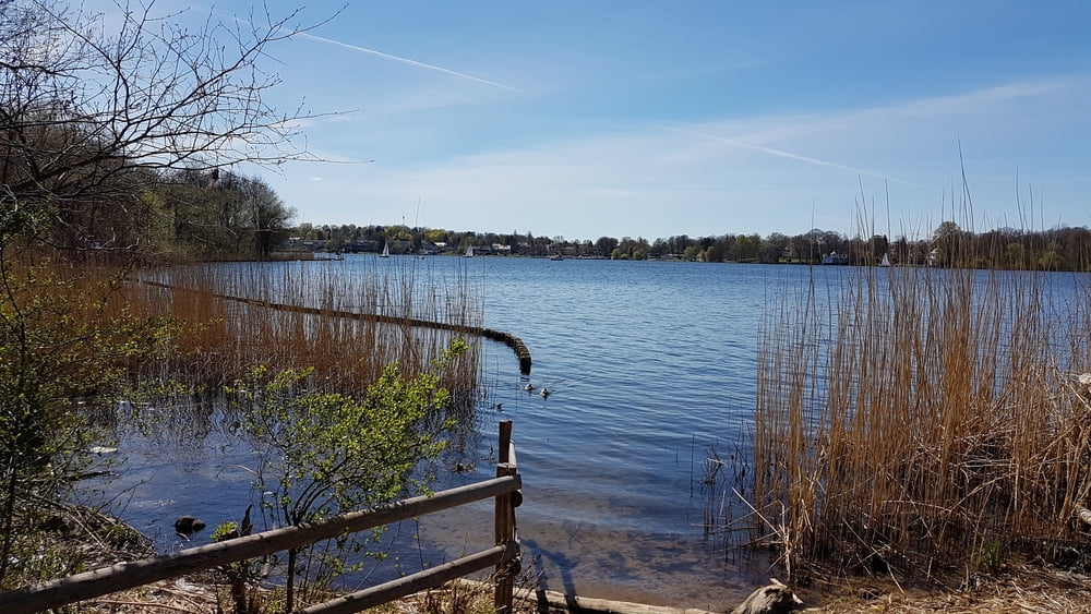
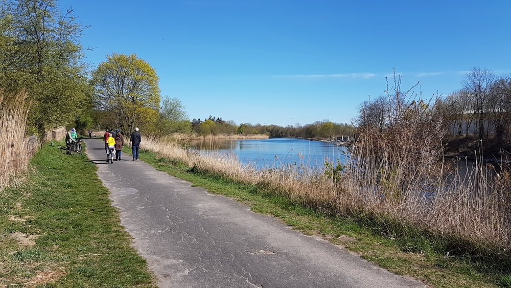
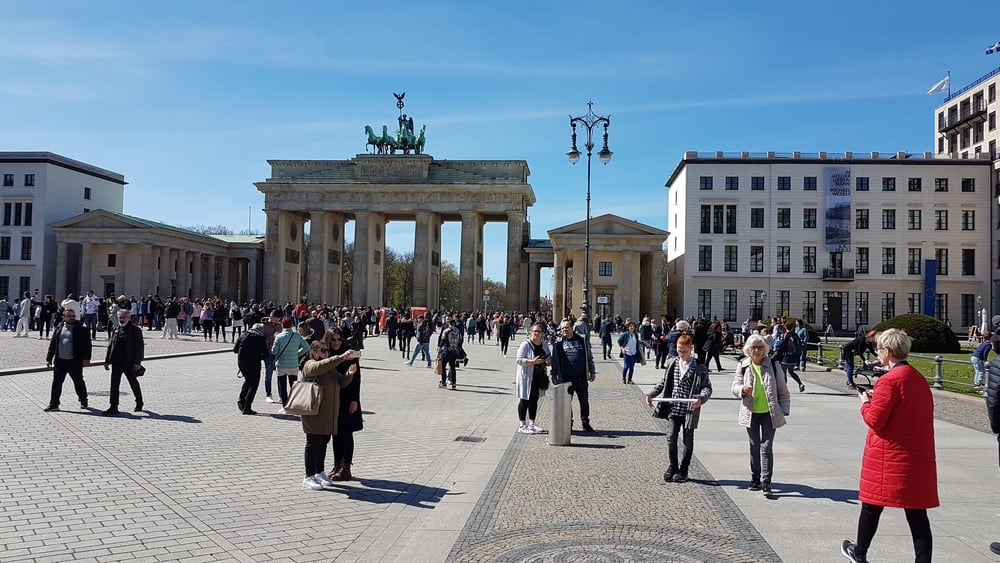
Schöne Stadtrundtour von Berlin Lichtenberg bis an die Havel und zurück.

Further information at

https://de.wikipedia.org/wiki/Havel

Galeria trasy

Mapa trasy i profil wysokości

  • Open Street Map
  • Google
Minimum height 26 m Maximum height 77 m Widok szczegółowy

More about the tour author

riemchens
Member since 2009

Send private message

Komentarze

Berlin Lichtenberg.

GPS tracks

Trackpoints
  • GPX / Garmin Map Source (gpx) download
  • TCX / Garmin Training Center® (tcx) download
  • CRS / Garmin Training Center® (crs) download
  • Google Earth (kml) download
  • G7ToWin (g7t) download
  • TTQV (trk) download
  • Overlay (ovl) download
  • Fugawi (txt) download
  • Kompass (DAV) Track (tk) download
  • Karta trasy (pdf) download
  • Original file of the author (gpx) download

More about the tour author

riemchens
Member since 2009

Send private message
Share track
Add to my favorites
Remove from my favorites
Edit tags
My score
Rate
Trasa: Lichtenberg - Havel - Wannsee *** Berlin
Rodzaj: Rower trekkingowy
Długość: 69,4 km
Evaluated on:
Czas trwania:
Day(s)
Hour(s)
Minute(s)
Ocena: Krajobraz Czynnik zadowolenia Kondycja Technika