


Die Runde ist eine Bachtour ohne nasse Füße zu bekommen. Es geht entlang vom Schwabach, von der Bibert und von der Rednitz. Gestartet wird in Limbach, was kein Bach sondern ein Ortsteil von der Stadt Schwabach ist.
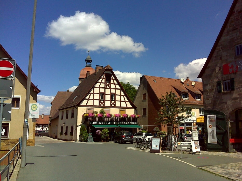
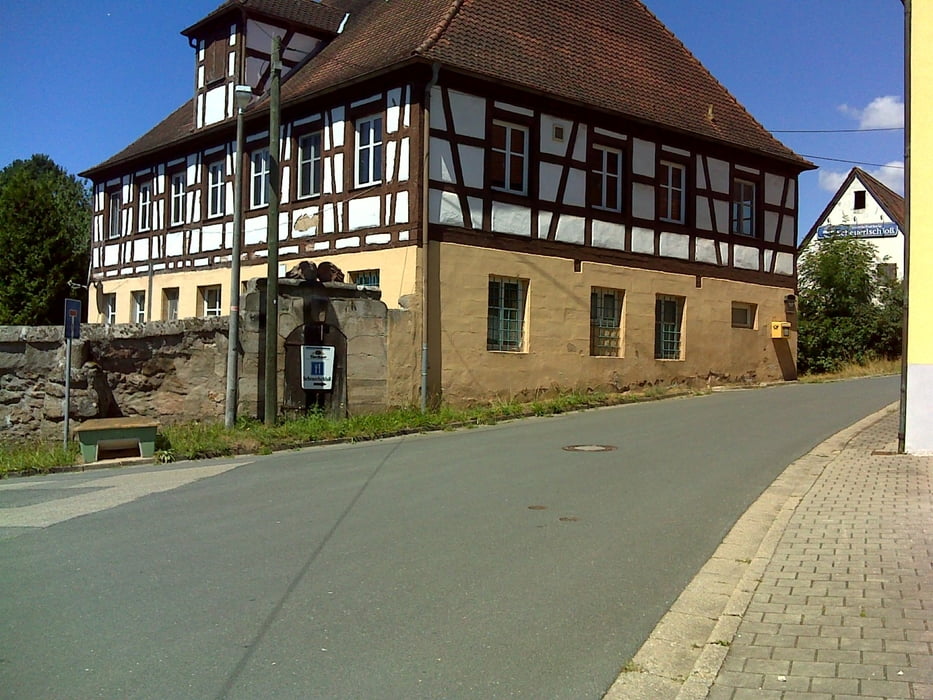
Nett anzusehen sind unterwegs auch die Orte Roßtal und Stein, wobei „nett“ in Zeiten von Corona – Diktatur und Krieg halt einen sehr, sehr bitteren Beigeschmack hat, weil wir sicher wissen, dass es hier in naher Zukunft grau und trist aussehen wird!! :-(
Start war übrigens bei ALDI Süd in Limbach.
Nett anzusehen sind unterwegs auch die Orte Roßtal und Stein, wobei „nett“ in Zeiten von Corona – Diktatur und Krieg halt einen sehr, sehr bitteren Beigeschmack hat, weil wir sicher wissen, dass es hier in naher Zukunft grau und trist aussehen wird!! :-(
Start war übrigens bei ALDI Süd in Limbach.
Further information at
https://t.me/FreedomdayteamGaleria trasy
Mapa trasy i profil wysokości
Minimum height 305 m
Maximum height 425 m
More about the tour author
|
|
Saxoniaradler |
Komentarze

Limbach bzw. Schwabach liegen in der bayerischen Kolonie Franken und stehen unter Herrschaft des Imperators.
GPS tracks
Trackpoints-
GPX / Garmin Map Source (gpx) download
-
TCX / Garmin Training Center® (tcx) download
-
CRS / Garmin Training Center® (crs) download
-
Google Earth (kml) download
-
G7ToWin (g7t) download
-
TTQV (trk) download
-
Overlay (ovl) download
-
Fugawi (txt) download
-
Kompass (DAV) Track (tk) download
-
Karta trasy (pdf) download
-
Original file of the author (gpx) download
More about the tour author
|
|
Saxoniaradler |
Add to my favorites
Remove from my favorites
Edit tags
Open track
My score
Rate