Login

Zapomniałeś swój login?

Cookies have to be accepted!
Your browser's cookie functionality is disabled. Please enable this functionality.

Not a member yet?

Register now
Login

Available for registred users only

Log in to use this feature.

Zapomniałeś swój login?

Cookies have to be accepted!
Your browser's cookie functionality is disabled. Please enable this functionality.

Not a member yet?

Register now
Filter
Kategorie
Advanced filters
  • Długość (km)
  • Wysokość
Zapisz filtr Reset filter

TrackRank

QRCode

Technical data

Długość44,0 km Wysokość226 m Way down237 m Czas trwania04:02 h:m Data23.07.2022
Oceny Author Krajobraz Czynnik zadowolenia Kondycja Technika

Statystyka

197 Widoki Oceny 4 Downloads / Pliki do pobrania Przeciętnie
Rate
  • Karta trasy
  • Dojazd
  • Downloads / Pliki do pobrania
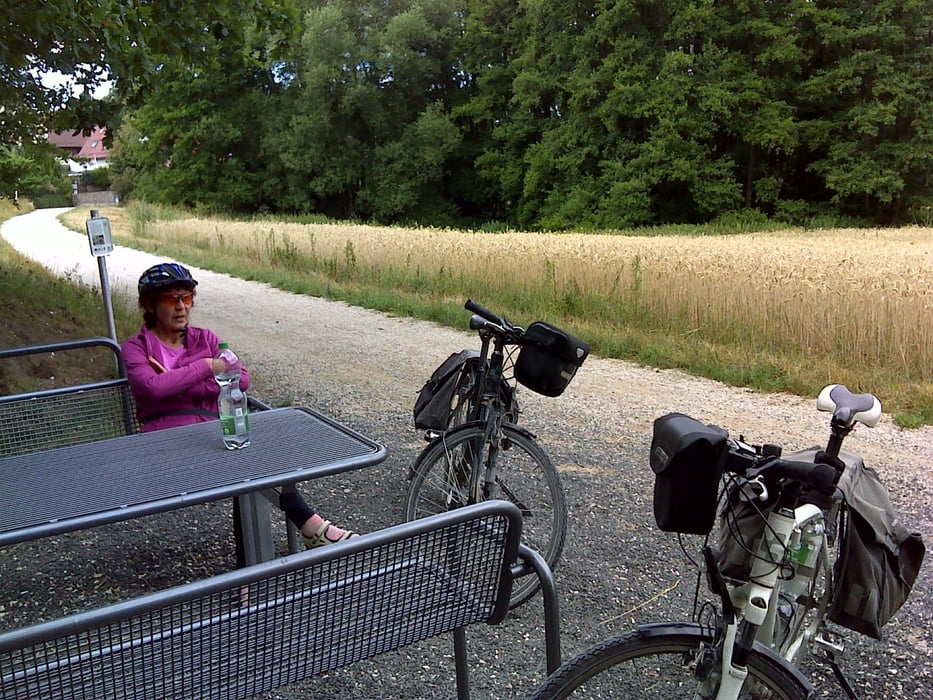
… eine ruhige Trödelrunde von Limbach gen Wendelstein – Harrlach – Guggenmühle – MD – Kanal über komfortable fränkische Sandwege und den Main-Donau-Kanal. Proviant zugeladen wurde in der Bäckerei Goldjunge von Katzwang. Start war übrigens bei ALDI Süd in Limbach.

Further information at

https://t.me/Freedomdayteam

Galeria trasy

Mapa trasy i profil wysokości

  • Open Street Map
  • Google
Minimum height 320 m Maximum height 405 m Widok szczegółowy

More about the tour author

Saxoniaradler
Member since 2011

Send private message

Komentarze

Limbach bzw. Schwabach liegen in der bayerischen Kolonie Franken und stehen unter Herrschaft des Imperators.

GPS tracks

Trackpoints
  • GPX / Garmin Map Source (gpx) download
  • TCX / Garmin Training Center® (tcx) download
  • CRS / Garmin Training Center® (crs) download
  • Google Earth (kml) download
  • G7ToWin (g7t) download
  • TTQV (trk) download
  • Overlay (ovl) download
  • Fugawi (txt) download
  • Kompass (DAV) Track (tk) download
  • Karta trasy (pdf) download
  • Original file of the author (gpx) download

More about the tour author

Saxoniaradler
Member since 2011

Send private message
Share track
Add to my favorites
Remove from my favorites
Edit tags
My score
Rate
Trasa: Fürth als Dorf mitten in der Pampa
Rodzaj: Rower trekkingowy
Długość: 44,0 km
Evaluated on:
Czas trwania:
Day(s)
Hour(s)
Minute(s)
Ocena: Krajobraz Czynnik zadowolenia Kondycja Technika