Login

Zapomniałeś swój login?

Cookies have to be accepted!
Your browser's cookie functionality is disabled. Please enable this functionality.

Not a member yet?

Register now
Login

Available for registred users only

Log in to use this feature.

Zapomniałeś swój login?

Cookies have to be accepted!
Your browser's cookie functionality is disabled. Please enable this functionality.

Not a member yet?

Register now
Filter
Kategorie
Advanced filters
  • Długość (km)
  • Wysokość
Zapisz filtr Reset filter

TrackRank

QRCode

Technical data

Długość69,9 km Wysokość682 m Way down669 m Czas trwania02:45 h:m Data27.05.2023
Oceny Author Krajobraz Czynnik zadowolenia Kondycja Technika

Statystyka

333 Widoki Oceny 1 Download Przeciętnie
Rate
  • Karta trasy
  • Dojazd
  • Downloads / Pliki do pobrania

Auf meist kleinen Straßen ab Weiherhammer entlang der Naab Richtung Pfreimd, dann über die Bergetappe Oklahoma-Pass, Schnaittenbach, Kohlberg und Röthenbach zurück.

Zwischen Holzhammer und Schnaittenbach kleine Asphaltstraße mit doch ein paar Steinen, man kann auch die ungemütlicherer B 14 nehmen.
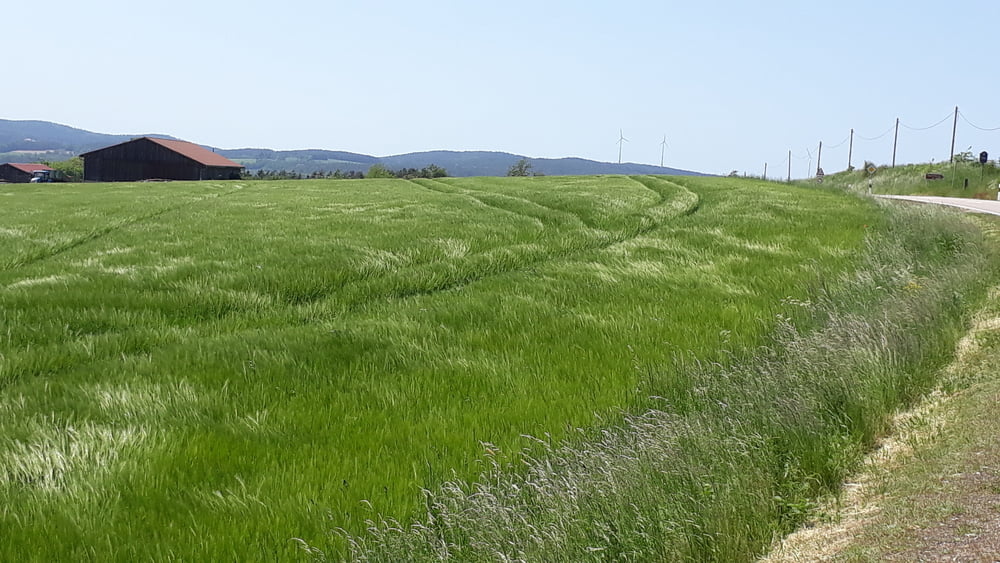
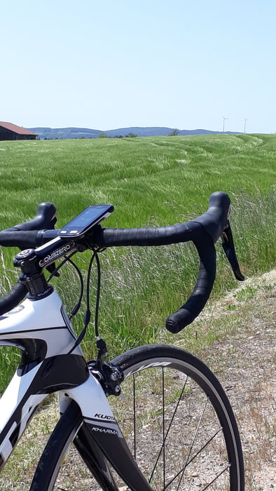
Galeria trasy

Mapa trasy i profil wysokości

  • Open Street Map
  • Google
Minimum height 383 m Maximum height 576 m Widok szczegółowy

More about the tour author

schmidt-nehls
Member since 2013

Send private message

Komentarze

Man kann in Weiherhammer am Hammerweiher starten, ansonsten überall Einstieg möglich.

GPS tracks

Trackpoints
  • GPX / Garmin Map Source (gpx) download
  • TCX / Garmin Training Center® (tcx) download
  • CRS / Garmin Training Center® (crs) download
  • Google Earth (kml) download
  • G7ToWin (g7t) download
  • TTQV (trk) download
  • Overlay (ovl) download
  • Fugawi (txt) download
  • Kompass (DAV) Track (tk) download
  • Karta trasy (pdf) download
  • Original file of the author (gpx) download

More about the tour author

schmidt-nehls
Member since 2013

Send private message
Share track
Add to my favorites
Remove from my favorites
Edit tags
My score
Rate
Trasa: Weiherhammer - Oklahoma-Pass - Schnaittenbach
Rodzaj: Rower szosowy
Długość: 69,9 km
Evaluated on:
Czas trwania:
Day(s)
Hour(s)
Minute(s)
Ocena: Krajobraz Czynnik zadowolenia Kondycja Technika