


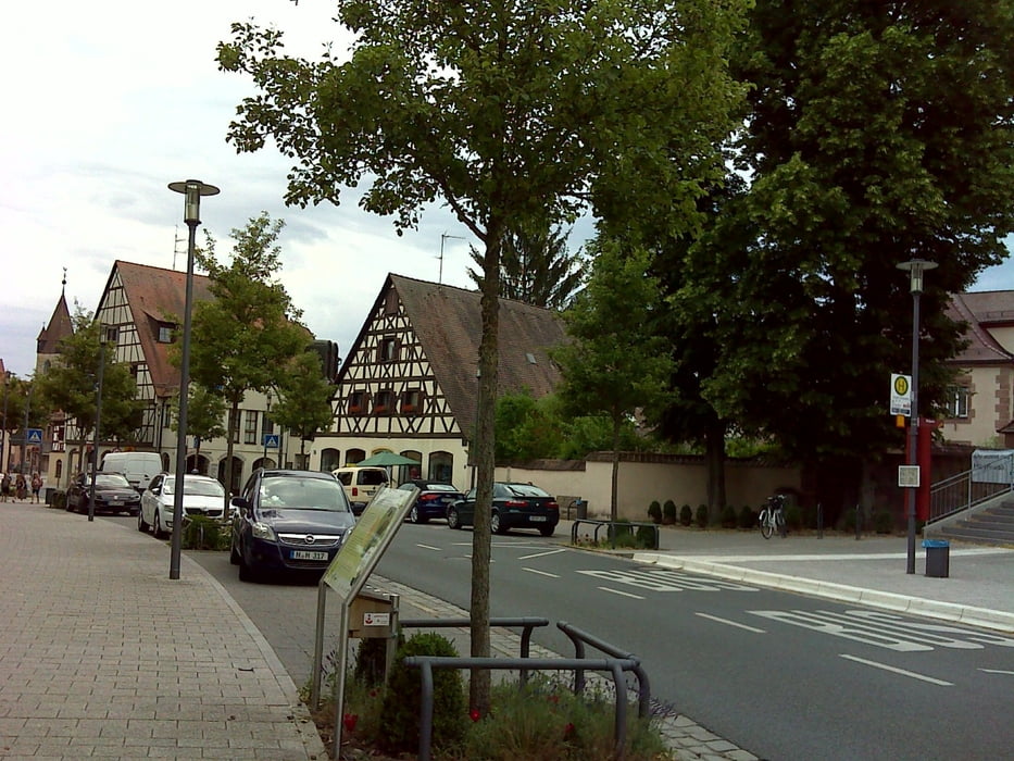
Es geht von Limbach recht nett entlang der Schwarzach gen Wendelstein und weiter entlang des Ludwig-Main-Donau-Kanals bis zur Waldschänke Brückkanal und dann in die City von Feucht.
Die Kanalfahrt ist am Wochenende stark mit Fußgängern, Ebikern und Radlern frequentiert und man sollte eher trödeln!!
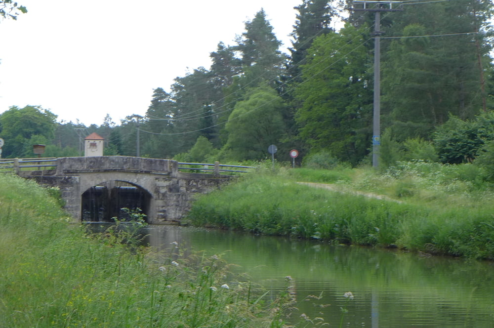
Zurück nehmen wir bis zum Europakai wieder den Ludwigkanal and dann die moderne Variante!
Die Kanalfahrt ist am Wochenende stark mit Fußgängern, Ebikern und Radlern frequentiert und man sollte eher trödeln!!
Zurück nehmen wir bis zum Europakai wieder den Ludwigkanal and dann die moderne Variante!
Further information at
https://t.me/FreedomdayteamGaleria trasy

Mapa trasy i profil wysokości
Minimum height 317 m
Maximum height 372 m
More about the tour author
|
|
Saxoniaradler |
Komentarze

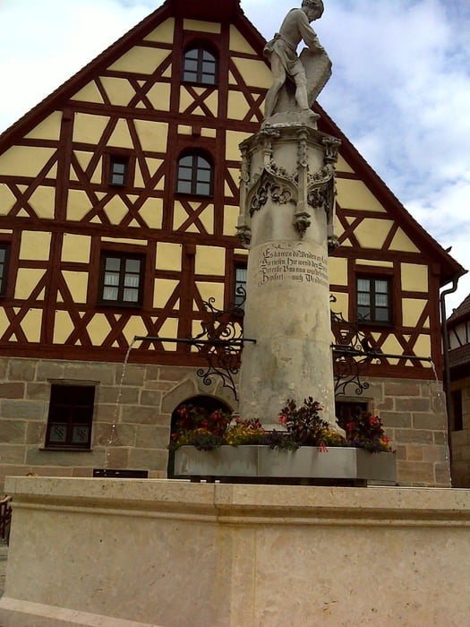
Limbach bzw. Schwabach liegen in der bayerischen Kolonie Franken und stehen unter Herrschaft des Imperators.
GPS tracks
Trackpoints-
GPX / Garmin Map Source (gpx) download
-
TCX / Garmin Training Center® (tcx) download
-
CRS / Garmin Training Center® (crs) download
-
Google Earth (kml) download
-
G7ToWin (g7t) download
-
TTQV (trk) download
-
Overlay (ovl) download
-
Fugawi (txt) download
-
Kompass (DAV) Track (tk) download
-
Karta trasy (pdf) download
-
Original file of the author (gpx) download
More about the tour author
|
|
Saxoniaradler |
Add to my favorites
Remove from my favorites
Edit tags
Open track
My score
Rate