


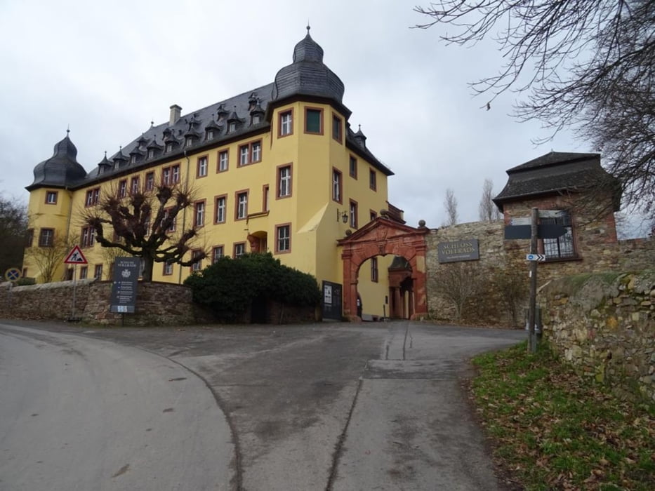
Von Hattenheim geht die Wanderung gleich in die Weinberge nach Hallgarten. Von hier oben hat man einen schönen Weitblick über den Rhein hinweg in Richtung Ingelheim und dahinter. Der Weg führt vorbei an Heiligenhäuschen und alten Mühlen zum Schloss Vollrads. Dort lasse ich mir viel Zeit zum Umschauen denn die Besucher kommen erst im März. Es folgt nochmals eine Strecke durch die Weinberge bis nach Östrich-Winkel. Von nun an bleibe ich dem Leinpfad der ganz nah am Rhein verläuft. Von Hattenheim geht es per Bahn wieder nach Hause
Further information at
https://sonntagswandern.de/zwischen-hattenheim-und-oestrich-winkel-durch-den-rheingau-4-februar-2024/Galeria trasy
Mapa trasy i profil wysokości
Minimum height 108 m
Maximum height 202 m
More about the tour author

|
Sonntagswanderin |
Komentarze

mit der Rheingau-Linie zum Bahnhof in Hattenheim - Eltville
GPS tracks
Trackpoints-
GPX / Garmin Map Source (gpx) download
-
TCX / Garmin Training Center® (tcx) download
-
CRS / Garmin Training Center® (crs) download
-
Google Earth (kml) download
-
G7ToWin (g7t) download
-
TTQV (trk) download
-
Overlay (ovl) download
-
Fugawi (txt) download
-
Kompass (DAV) Track (tk) download
-
Karta trasy (pdf) download
-
Original file of the author (gpx) download
More about the tour author
|
|
Sonntagswanderin |
Add to my favorites
Remove from my favorites
Edit tags
Open track
My score
Rate