


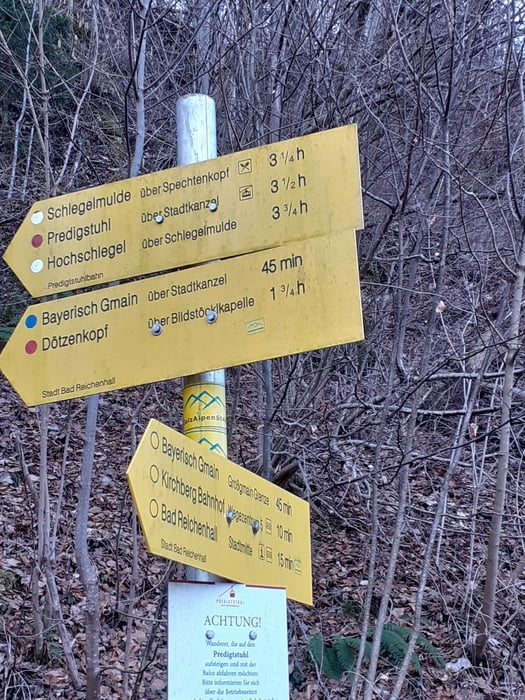
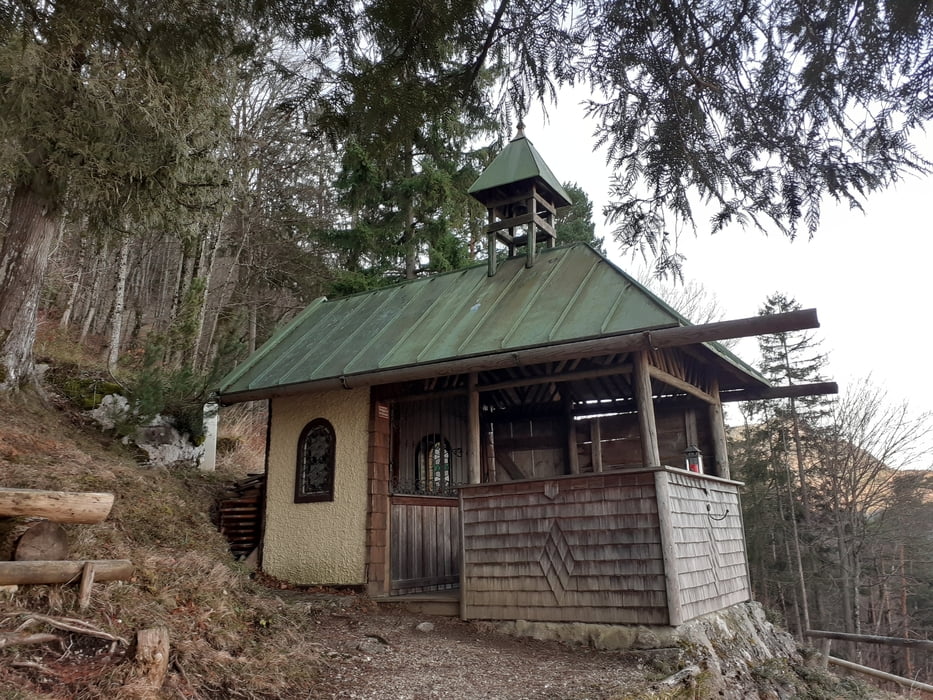
Vom Festplatz hinauf zur Bildstöcklkapelle und zum Aussichtspunkt Türmereck.
Kurz darauf zweigt der Weg auf den Predigtstuhl rechts ab und es geht weiter über Serpentinen durch Wald mit Blick auf den Dötzenkopf.
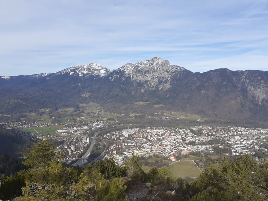
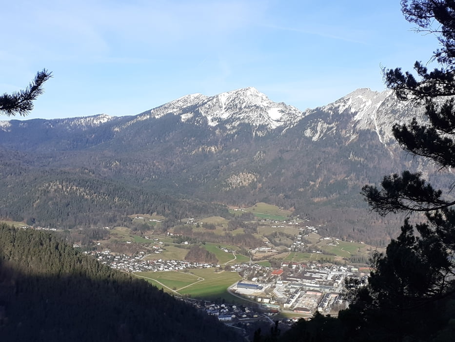
Es folgen im Rachlboden ein paar ausgesetzte Stellen, welche mit Brücken und Leitern gut überwunden werden. Es folgt der höchste Punkt und dann geht es hinunter zum Dötzenkopf mit Gipfelkreuz. Eine wunderbare Aussicht auf Bad Reichenhall, Staufen, Zwiesel und zurück ins Lattengebirge!
Der Abstieg geht steil hinunter zum Wappachkopf. Auf einem schmalen Steig geht es abwärts über den Rücken zu einem Graben. Dieser wird überquert und bald darauf ist der Anstiegsweg erreicht.
Galeria trasy
Mapa trasy i profil wysokości
Minimum height 529 m
Maximum height 1069 m
More about the tour author

|
JoHangler |
Komentarze

Auf der Umfahrungsstraße Bad Reichenhall Richtung Lofer. Die Abzweigung zum Festplatz ist beschildert.
GPS tracks
Trackpoints-
GPX / Garmin Map Source (gpx) download
-
TCX / Garmin Training Center® (tcx) download
-
CRS / Garmin Training Center® (crs) download
-
Google Earth (kml) download
-
G7ToWin (g7t) download
-
TTQV (trk) download
-
Overlay (ovl) download
-
Fugawi (txt) download
-
Kompass (DAV) Track (tk) download
-
Karta trasy (pdf) download
-
Original file of the author (gpx) download
More about the tour author
|
|
JoHangler |
Add to my favorites
Remove from my favorites
Edit tags
Open track
My score
Rate