Login

Zapomniałeś swój login?

Cookies have to be accepted!
Your browser's cookie functionality is disabled. Please enable this functionality.

Not a member yet?

Register now
Login

Available for registred users only

Log in to use this feature.

Zapomniałeś swój login?

Cookies have to be accepted!
Your browser's cookie functionality is disabled. Please enable this functionality.

Not a member yet?

Register now
Filter
Kategorie
Advanced filters
  • Długość (km)
  • Wysokość
Zapisz filtr Reset filter

TrackRank

QRCode

Technical data

Długość28,3 km Wysokość544 m Way down529 m Czas trwania00:00 h:m Data07.04.2024
Oceny Author Krajobraz Czynnik zadowolenia Kondycja Technika

Statystyka

165 Widoki Oceny 0 Downloads / Pliki do pobrania Przeciętnie
Rate
  • Karta trasy
  • Dojazd
  • Downloads / Pliki do pobrania

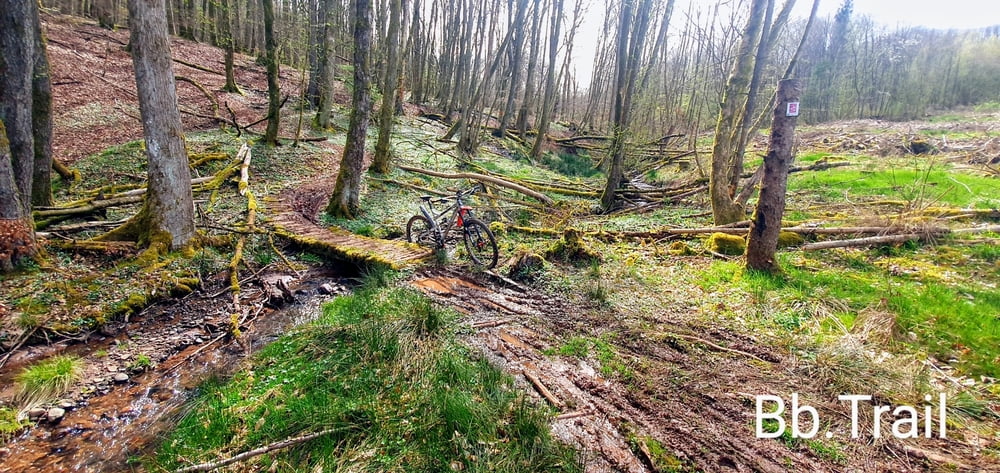
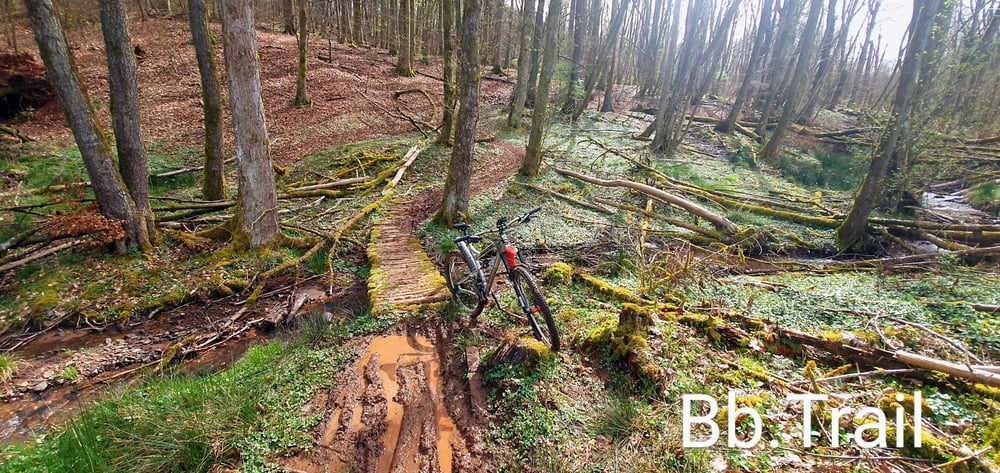
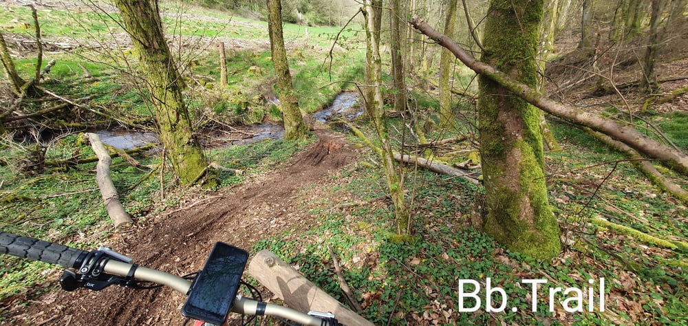
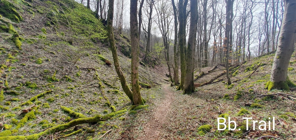
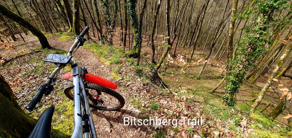
Der Bitschberg -Trail ist ein sehr schöner S1 Trail, im oberen Teil S2 mit Absturzgefahr an einer Stelle.

Viel Spaß beim befahren ??

Galeria trasy

Mapa trasy i profil wysokości

  • Open Street Map
  • Google
Minimum height 215 m Maximum height 459 m Widok szczegółowy

More about the tour author

forest-trailhunter
Member since 2015

Send private message

Komentarze

GPS tracks

Trackpoints
  • GPX / Garmin Map Source (gpx) download
  • TCX / Garmin Training Center® (tcx) download
  • CRS / Garmin Training Center® (crs) download
  • Google Earth (kml) download
  • G7ToWin (g7t) download
  • TTQV (trk) download
  • Overlay (ovl) download
  • Fugawi (txt) download
  • Kompass (DAV) Track (tk) download
  • Karta trasy (pdf) download
  • Original file of the author (gpx) download

More about the tour author

forest-trailhunter
Member since 2015

Send private message
Share track
Add to my favorites
Remove from my favorites
Edit tags
My score
Rate
Trasa: Tour zum "Bitschberg - Trail"
Rodzaj: Rower górski (MTB)
Długość: 28,3 km
Evaluated on:
Czas trwania:
Day(s)
Hour(s)
Minute(s)
Ocena: Krajobraz Czynnik zadowolenia Kondycja Technika