


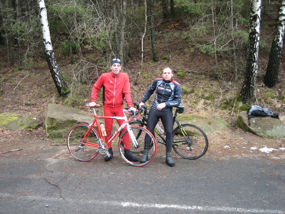
Die Tour führt überwiegend auf asphaltierte Landstraßen. Irgendwo zwische Speyer und Römerberg hatten wir einen komischen Weg gewählt und mussten sogar die Bikes eine Treppe hinauf tragen. War aber alles nicht so schlimm, wer möchte kann die Tracklinie des Rückwegs durch Römerberg benutzen. Ebenso haben wir festgestellt das man in Maikammer an der Gabelung besser den rechten Weg wählt, der ist für den Anstieg landschaftlich einfach viel schöner und da man eh nicht so schnell unterwegs ist kann man das auch geniesen.
Orte:
Brühl - Speyer - Römerberg - Schwegenheim - Gommersheim - Altdorf - Kirrweiler - Maikammer - St. Martin und wieder zurück
Galeria trasy
Mapa trasy i profil wysokości
Minimum height 85 m
Maximum height 656 m
More about the tour author
|
|
ManiacRider |
Komentarze

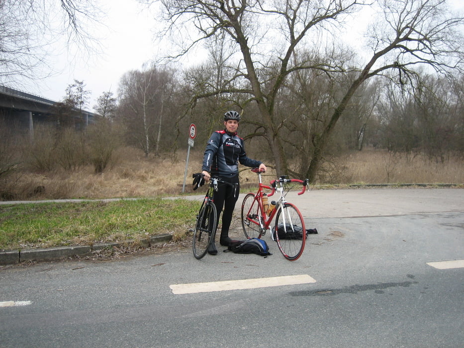
Los gehts am Kreisverkehr in Brühl Rohoferstraße/Nibelungenstraße
GPS tracks
Trackpoints-
GPX / Garmin Map Source (gpx) download
-
TCX / Garmin Training Center® (tcx) download
-
CRS / Garmin Training Center® (crs) download
-
Google Earth (kml) download
-
G7ToWin (g7t) download
-
TTQV (trk) download
-
Overlay (ovl) download
-
Fugawi (txt) download
-
Kompass (DAV) Track (tk) download
-
Karta trasy (pdf) download
-
Original file of the author (gpx) download
More about the tour author
|
|
ManiacRider |
Add to my favorites
Remove from my favorites
Edit tags
Open track
My score
Rate