Login

Zapomniałeś swój login?

Cookies have to be accepted!
Your browser's cookie functionality is disabled. Please enable this functionality.

Not a member yet?

Register now
Login

Available for registred users only

Log in to use this feature.

Zapomniałeś swój login?

Cookies have to be accepted!
Your browser's cookie functionality is disabled. Please enable this functionality.

Not a member yet?

Register now
Filter
Kategorie
Advanced filters
  • Długość (km)
  • Wysokość
Zapisz filtr Reset filter

TrackRank

QRCode

Technical data

Długość15,8 km Wysokość412 m Way down412 m Czas trwania03:30 h:m Data14.04.2009
Oceny Author User Krajobraz Czynnik zadowolenia Kondycja Technika

Statystyka

1688 Widoki 2 Oceny 83 Downloads / Pliki do pobrania 4.50 Przeciętnie
Rate
  • Karta trasy
  • Dojazd
  • Downloads / Pliki do pobrania

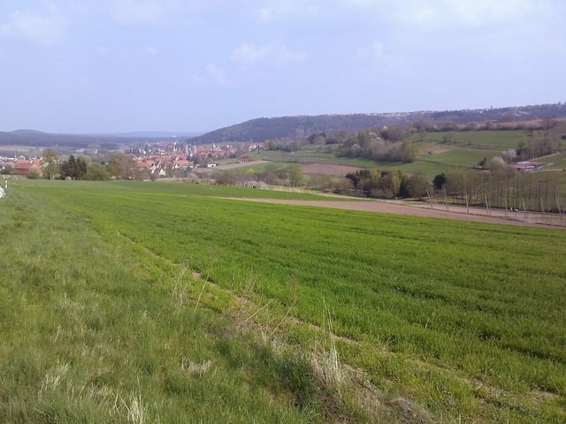
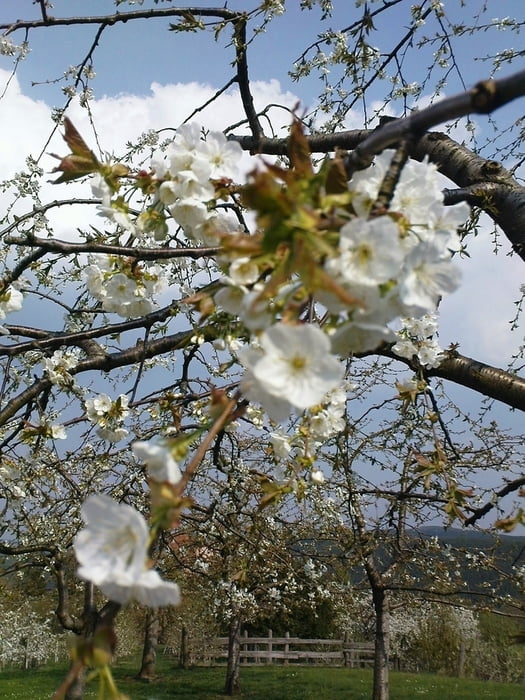
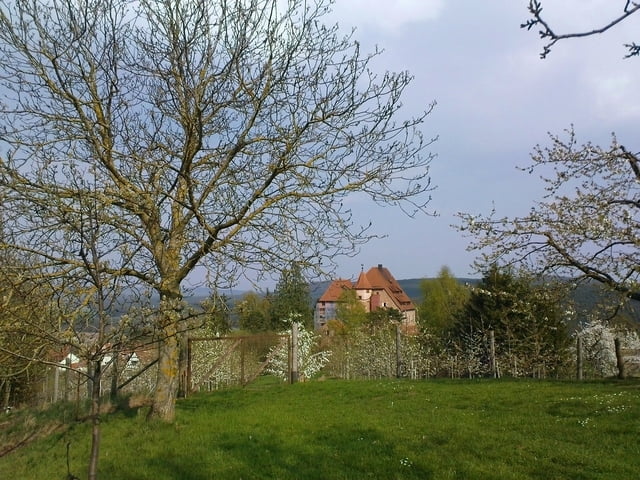
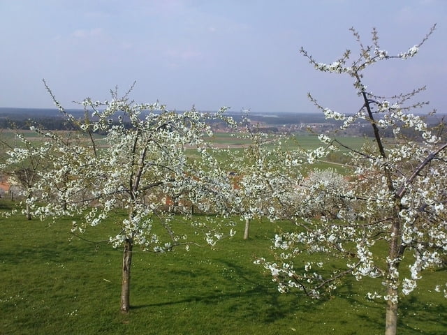
Zur Kirschblüte nach Kalbensteinberg

Rundweg vorbei an Kalbensteinberg, Theilenberg, Wernfels, Stiegelmühle, Höfstetten, Nagelhof, Schnittlinger Loch, Schnittling und Keilberg

Dies ist kein ausgeschilderter Rundweg!!!

Further information at

http://www.fraenkische-seen.de/Orte/Kalbensteinberg/kalbensteinberg.htm

Galeria trasy

Mapa trasy i profil wysokości

  • Open Street Map
  • Google
Minimum height 366 m Maximum height 507 m Widok szczegółowy

More about the tour author

Rezatfisch
Member since 2008

Send private message

Komentarze

parken in den Orten möglich

GPS tracks

Trackpoints
  • GPX / Garmin Map Source (gpx) download
  • TCX / Garmin Training Center® (tcx) download
  • CRS / Garmin Training Center® (crs) download
  • Google Earth (kml) download
  • G7ToWin (g7t) download
  • TTQV (trk) download
  • Overlay (ovl) download
  • Fugawi (txt) download
  • Kompass (DAV) Track (tk) download
  • Karta trasy (pdf) download
  • Original file of the author (gpx) download

More about the tour author

Rezatfisch
Member since 2008

Send private message
Share track
Add to my favorites
Remove from my favorites
Edit tags
My score
Rate
Trasa: Kalbensteinberg - Kirschblütenwanderung (k e i n ausgeschilderter Rundweg!!!)
Rodzaj: Wędrówki
Długość: 15,8 km
Evaluated on:
Czas trwania:
Day(s)
Hour(s)
Minute(s)
Ocena: Krajobraz Czynnik zadowolenia Kondycja Technika