Login

Zapomniałeś swój login?

Cookies have to be accepted!
Your browser's cookie functionality is disabled. Please enable this functionality.

Not a member yet?

Register now
Login

Available for registred users only

Log in to use this feature.

Zapomniałeś swój login?

Cookies have to be accepted!
Your browser's cookie functionality is disabled. Please enable this functionality.

Not a member yet?

Register now
Filter
Kategorie
Advanced filters
  • Długość (km)
  • Wysokość
Zapisz filtr Reset filter

TrackRank

QRCode

Technical data

Długość13,8 km Wysokość331 m Way down321 m Czas trwania03:35 h:m Data14.08.2009
Oceny Author Krajobraz Czynnik zadowolenia Kondycja Technika

Statystyka

898 Widoki Oceny 85 Downloads / Pliki do pobrania Przeciętnie
Rate
  • Karta trasy
  • Dojazd
  • Downloads / Pliki do pobrania

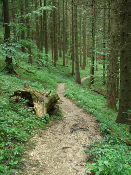
fast eben verlaufender, schmaler Weg am Hang entlang...

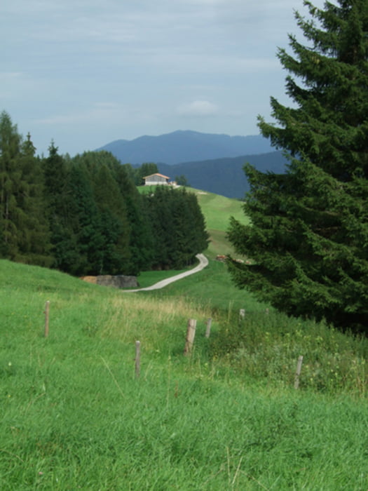
Aufgrund eines "Verlaufers" kam eine kleine Bergwertung hinzu, die uns aber wunderschöne Wege und Ausblicke bescherte - Maria Eck - eine Wallfahrtskirche mit nettem Gasthof, allerdings auch netten Preisen. Eine schöne Feierabendrunde.

Galeria trasy

Mapa trasy i profil wysokości

  • Open Street Map
  • Google
Minimum height 676 m Maximum height 942 m Widok szczegółowy

More about the tour author

heikes
Member since 2009

Send private message

Komentarze

von der A8 München Salzburg - in Richtung Lohen - dort liegt unser Startpunkt, weil auch hier unsere Unterkunft liegt.

www.zeranka.com


GPS tracks

Trackpoints
  • GPX / Garmin Map Source (gpx) download
  • TCX / Garmin Training Center® (tcx) download
  • CRS / Garmin Training Center® (crs) download
  • Google Earth (kml) download
  • G7ToWin (g7t) download
  • TTQV (trk) download
  • Overlay (ovl) download
  • Fugawi (txt) download
  • Kompass (DAV) Track (tk) download
  • Karta trasy (pdf) download
  • Original file of the author (gpx) download

More about the tour author

heikes
Member since 2009

Send private message
Share track
Add to my favorites
Remove from my favorites
Edit tags
My score
Rate
Trasa: Lohen - Maria Eck mit Bergwertung - Lohen
Rodzaj: Wędrówki
Długość: 13,8 km
Evaluated on:
Czas trwania:
Day(s)
Hour(s)
Minute(s)
Ocena: Krajobraz Czynnik zadowolenia Kondycja Technika