


Kleiner Spaziergang zu den Spuren der Römer und Kelten bei Burgsalach.
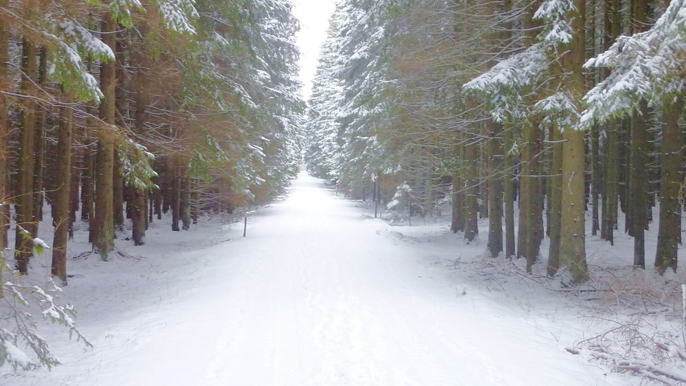
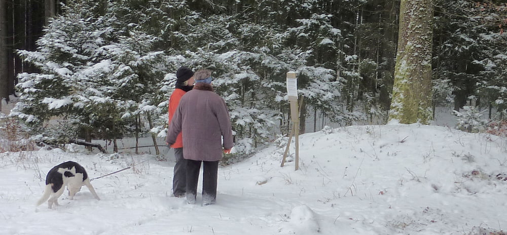
Vom Sportplatz von Burgsalach geht es auf dem Limesweg in Richtung des Wachturms und danach gleich rechts ab in den Wald. Nach ca. 700 m gibt uns links eine Infotafel Wissenswertes zu einem Hügelgrab, welches sich hier befindet.
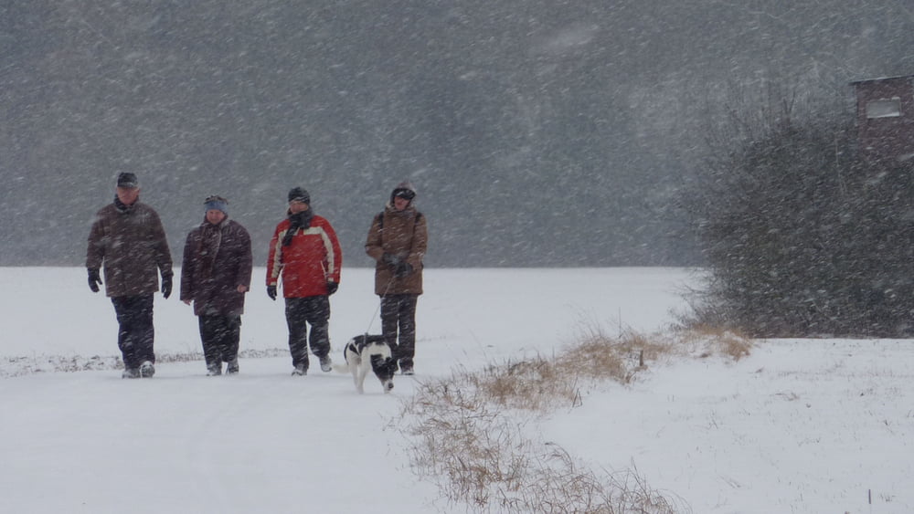
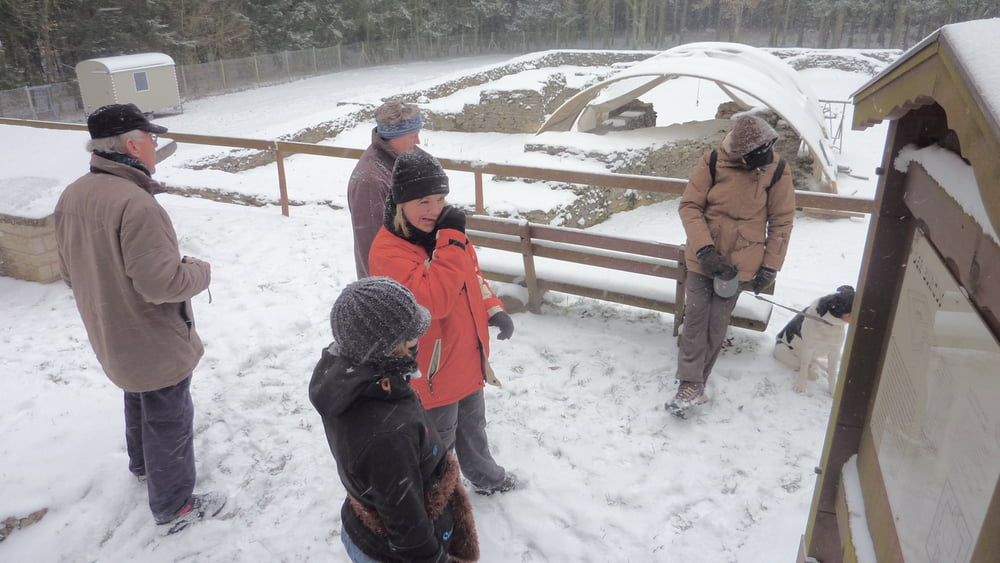
Nach ca. 1 Kilometer kommen wir auf eine Römerstraße der wir nach rechts folgen und die uns bis auf einen kleinen Hacken direkt zum römischen Burgus bringt.
Dann ein paar Meter zurück und rechts zum Fahrweg, welchen wir dann auch bis zum Sportpaltz zurück beibehalten.
Viel Spaß beim Entdecken
Further information at
http://www.ingolstadt.de/stadtmuseum/scheuerer/region/burgus02.htmGaleria trasy
Mapa trasy i profil wysokości
Minimum height 553 m
Maximum height 605 m
More about the tour author
|
|
Rezatfisch |
Komentarze

GPS tracks
Trackpoints-
GPX / Garmin Map Source (gpx) download
-
TCX / Garmin Training Center® (tcx) download
-
CRS / Garmin Training Center® (crs) download
-
Google Earth (kml) download
-
G7ToWin (g7t) download
-
TTQV (trk) download
-
Overlay (ovl) download
-
Fugawi (txt) download
-
Kompass (DAV) Track (tk) download
-
Karta trasy (pdf) download
-
Original file of the author (gpx) download
More about the tour author
|
|
Rezatfisch |
Add to my favorites
Remove from my favorites
Edit tags
Open track
My score
Rate