


Für geübte Skater geeignet. Sehr abenteurlich. Fünf Sterne sind definitiv zu wenig für die Bewertung. Viele Steigungen und Abfahrten, einige bis zu 12%. Unbedingt Bremsklotz vor der Tour überprüfen, lieber einen neuen aufsetzen. Zwischen den Wegpunkten „Ende der Zivilisation“ und „Wieder Zivilisation“ ist der Asphalt ziemlich rau. Durchhalten. Dafür wird man belohnt. Man genießt eine volle Einsamkeit. Wilde Tiere laufen über den Weg. Ab Kreuth ist die Strasse wieder super und es bleibt nicht weit bis zum Ziel.
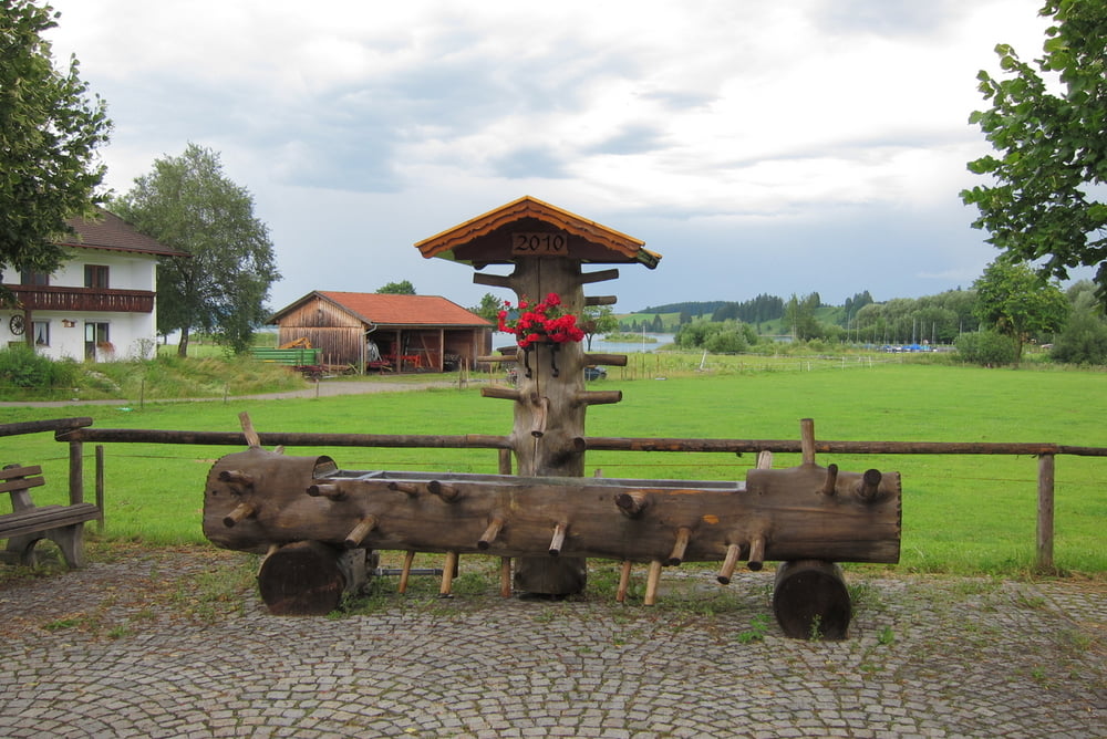
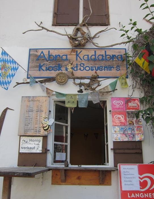
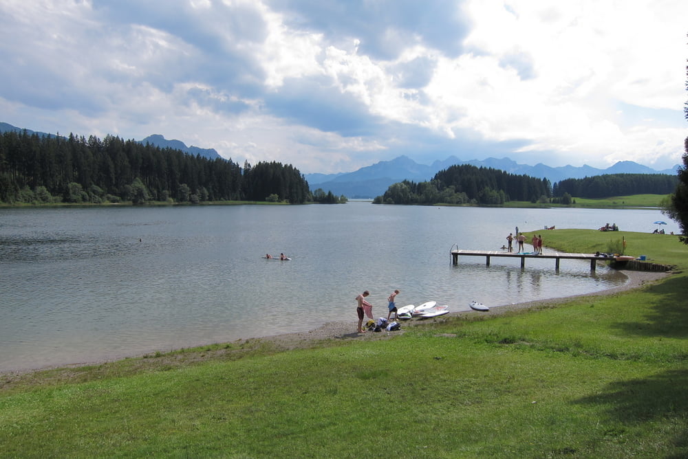
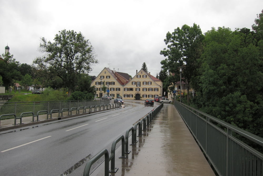
Galeria trasy
Mapa trasy i profil wysokości
Minimum height 661 m
Maximum height 844 m
More about the tour author
|
|
maklaj |
Komentarze

GPS tracks
Trackpoints-
GPX / Garmin Map Source (gpx) download
-
TCX / Garmin Training Center® (tcx) download
-
CRS / Garmin Training Center® (crs) download
-
Google Earth (kml) download
-
G7ToWin (g7t) download
-
TTQV (trk) download
-
Overlay (ovl) download
-
Fugawi (txt) download
-
Kompass (DAV) Track (tk) download
-
Karta trasy (pdf) download
-
Original file of the author (gpx) download
More about the tour author
|
|
maklaj |
Add to my favorites
Remove from my favorites
Edit tags
Open track
My score
Rate