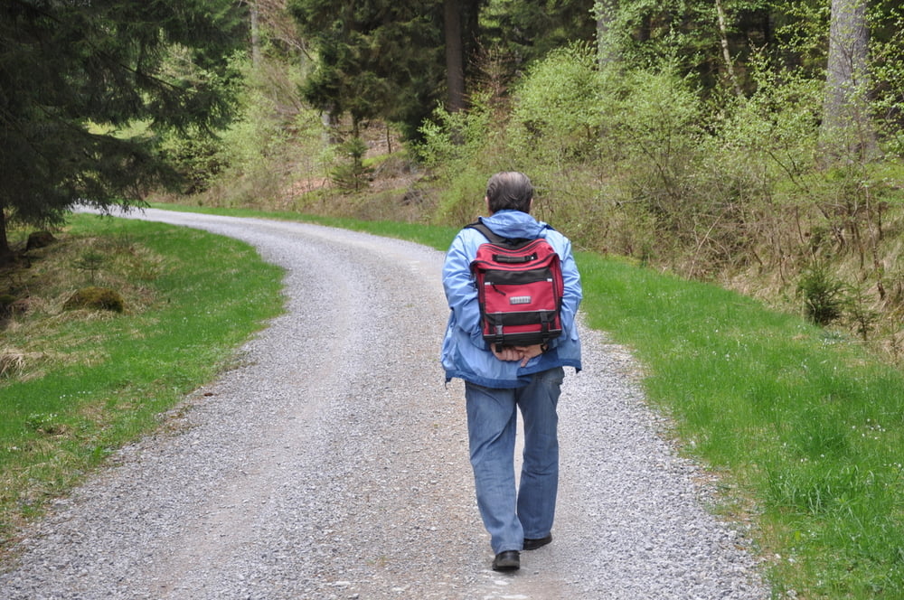
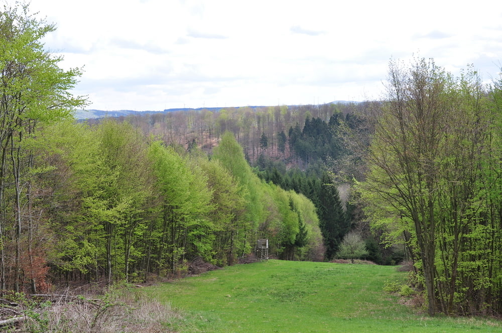
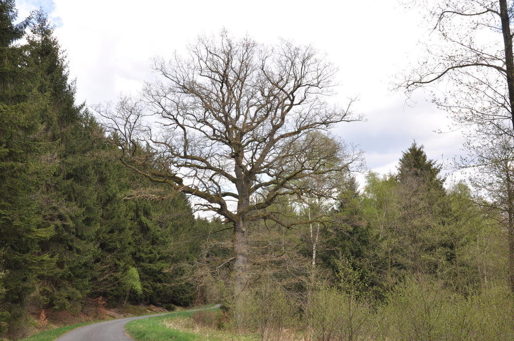
Login

Zapomniałeś swój login?

Cookies have to be accepted!
Your browser's cookie functionality is disabled. Please enable this functionality.

Not a member yet?

Register now
Login

Available for registred users only

Log in to use this feature.

Zapomniałeś swój login?

Cookies have to be accepted!
Your browser's cookie functionality is disabled. Please enable this functionality.

Not a member yet?

Register now
Filter
Kategorie
Advanced filters
  • Długość (km)
  • Wysokość
Zapisz filtr Reset filter

TrackRank

QRCode

Technical data

Długość5,5 km Wysokość113 m Way down113 m Czas trwania2 days 0 h Data12.01.2012
Oceny Author Krajobraz Czynnik zadowolenia Kondycja Technika

Statystyka

731 Widoki Oceny 19 Downloads / Pliki do pobrania Przeciętnie
Rate
  • Karta trasy
  • Dojazd
  • Downloads / Pliki do pobrania

Galeria trasy

Mapa trasy i profil wysokości

  • Open Street Map
  • Google
Minimum height 299 m Maximum height 400 m Widok szczegółowy

More about the tour author

am287
Member since 2012

Send private message

Komentarze

Startpunkt ist die Ringelsteiner Mühle an der L637.

Man kann an der Mühle entlang bis hoch zum Waldrand fahren über eine Schotterstraße bis zum Waldrand. Dort findet man gute Parkmöglichkeiten.

GPS tracks

Trackpoints
  • GPX / Garmin Map Source (gpx) download
  • TCX / Garmin Training Center® (tcx) download
  • CRS / Garmin Training Center® (crs) download
  • Google Earth (kml) download
  • G7ToWin (g7t) download
  • TTQV (trk) download
  • Overlay (ovl) download
  • Fugawi (txt) download
  • Kompass (DAV) Track (tk) download
  • Karta trasy (pdf) download
  • Original file of the author (gpx) download

More about the tour author

am287
Member since 2012

Send private message
Share track
Add to my favorites
Remove from my favorites
Edit tags
My score
Rate
Trasa: Ringelsteiner Wald
Rodzaj: Wędrówki
Długość: 5,5 km
Evaluated on:
Czas trwania:
Day(s)
Hour(s)
Minute(s)
Ocena: Krajobraz Czynnik zadowolenia Kondycja Technika