Login

Zapomniałeś swój login?

Cookies have to be accepted!
Your browser's cookie functionality is disabled. Please enable this functionality.

Not a member yet?

Register now
Login

Available for registred users only

Log in to use this feature.

Zapomniałeś swój login?

Cookies have to be accepted!
Your browser's cookie functionality is disabled. Please enable this functionality.

Not a member yet?

Register now
Filter
Kategorie
Advanced filters
  • Długość (km)
  • Wysokość
Zapisz filtr Reset filter

TrackRank

QRCode

Technical data

Długość7,4 km Wysokość100 m Way down100 m Czas trwania03:10 h:m Data12.01.2012
Oceny Author Krajobraz Czynnik zadowolenia Kondycja Technika

Statystyka

8331 Widoki Oceny 117 Downloads / Pliki do pobrania Przeciętnie
Rate
  • Karta trasy
  • Dojazd
  • Downloads / Pliki do pobrania

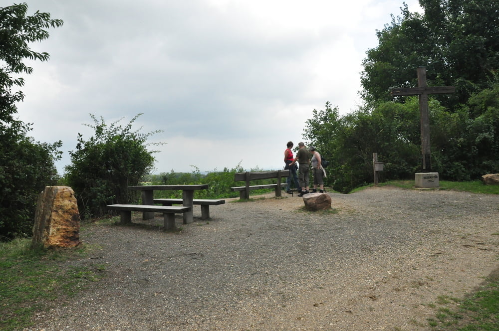
Die Glessener Höhe (auch Glessener Kippe genannt) ist eine künstlich errichtete Anhöhe im Rhein-Erft-Kreis in Nordrhein-Westfalen. Sie ist eine ehemalige, heute rekultivierte Bergehalde (Kippe) der umliegenden Braunkohlentagebaue.

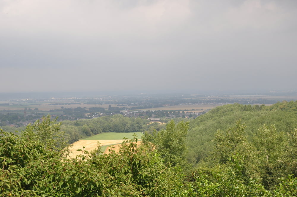
Die Abraumhalde bildet mit etwa 209 m ü. NN[1] die jeweils höchste Erhebung von Villerücken (Die Ville) und Rhein-Erft-Kreis. Von Natur aus − vor dem Anlegen der Kippe − erhob sich der Villerücken an dieser Stelle maximal 130 m ü. NN.

http://de.wikipedia.org/wiki/Glessener_H%C3%B6he

Galeria trasy

Mapa trasy i profil wysokości

  • Open Street Map
  • Google
Minimum height 118 m Maximum height 202 m Widok szczegółowy

More about the tour author

am287
Member since 2012

Send private message

Komentarze

Startpunkt ist der Parkplatz an der Widderstraße in Königsdorf.

GPS tracks

Trackpoints
  • GPX / Garmin Map Source (gpx) download
  • TCX / Garmin Training Center® (tcx) download
  • CRS / Garmin Training Center® (crs) download
  • Google Earth (kml) download
  • G7ToWin (g7t) download
  • TTQV (trk) download
  • Overlay (ovl) download
  • Fugawi (txt) download
  • Kompass (DAV) Track (tk) download
  • Karta trasy (pdf) download
  • Original file of the author (gpx) download

More about the tour author

am287
Member since 2012

Send private message
Share track
Add to my favorites
Remove from my favorites
Edit tags
My score
Rate
Trasa: Wanderweg Glessener Höhe 1
Rodzaj: Wędrówki
Długość: 7,4 km
Evaluated on:
Czas trwania:
Day(s)
Hour(s)
Minute(s)
Ocena: Krajobraz Czynnik zadowolenia Kondycja Technika