Login

Zapomniałeś swój login?

Cookies have to be accepted!
Your browser's cookie functionality is disabled. Please enable this functionality.

Not a member yet?

Register now
Login

Available for registred users only

Log in to use this feature.

Zapomniałeś swój login?

Cookies have to be accepted!
Your browser's cookie functionality is disabled. Please enable this functionality.

Not a member yet?

Register now
Filter
Kategorie
Advanced filters
  • Długość (km)
  • Wysokość
Zapisz filtr Reset filter

TrackRank

QRCode

Technical data

Długość6,7 km Wysokość143 m Way down155 m Czas trwania03:00 h:m Data14.01.2012
Oceny Author Krajobraz Czynnik zadowolenia Kondycja Technika

Statystyka

2350 Widoki Oceny 135 Downloads / Pliki do pobrania Przeciętnie
Rate
  • Karta trasy
  • Dojazd
  • Downloads / Pliki do pobrania
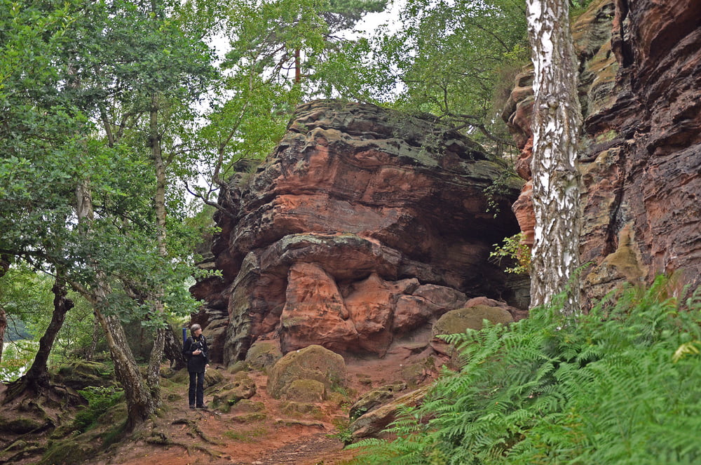
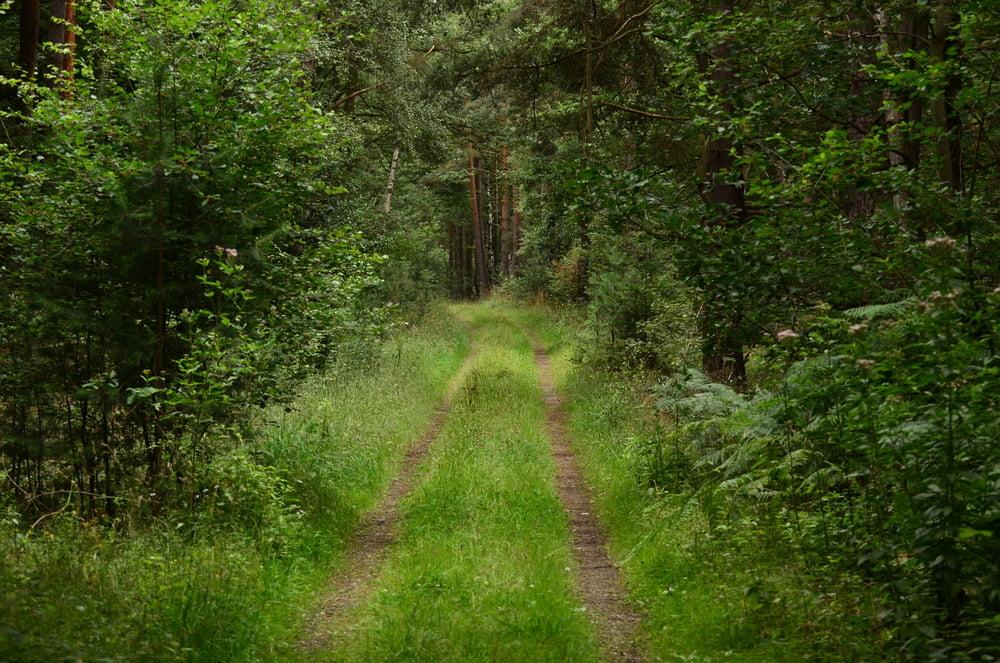
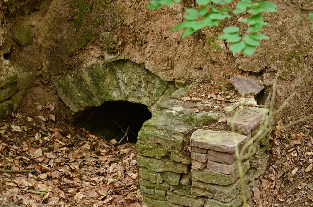
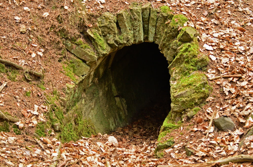
Heute haben wir mal eine schöne Wanderung in den Wäldern um die Mechernicher Katzensteine gemacht. In diesem Waldgebiet findet man auch einen Teil der Römischen Wasserleitung. Es ist sehr ruhig dort. So richtig erholsam. Weitere Infos siehe den Link.

Further information at

http://www.geomontanus.com/seiten/katzensteine.htm

Galeria trasy

Mapa trasy i profil wysokości

  • Open Street Map
  • Google
Minimum height 252 m Maximum height 365 m Widok szczegółowy

More about the tour author

am287
Member since 2012

Send private message

Komentarze

Startpunkt ist der Wanderparkplatz an der L61 kurz vor Mechernich.

GPS tracks

Trackpoints
  • GPX / Garmin Map Source (gpx) download
  • TCX / Garmin Training Center® (tcx) download
  • CRS / Garmin Training Center® (crs) download
  • Google Earth (kml) download
  • G7ToWin (g7t) download
  • TTQV (trk) download
  • Overlay (ovl) download
  • Fugawi (txt) download
  • Kompass (DAV) Track (tk) download
  • Karta trasy (pdf) download
  • Original file of the author (gpx) download

More about the tour author

am287
Member since 2012

Send private message
Share track
Add to my favorites
Remove from my favorites
Edit tags
My score
Rate
Trasa: Katzensteine und Römische Wasserleitung Mechernich
Rodzaj: Wędrówki
Długość: 6,7 km
Evaluated on:
Czas trwania:
Day(s)
Hour(s)
Minute(s)
Ocena: Krajobraz Czynnik zadowolenia Kondycja Technika