


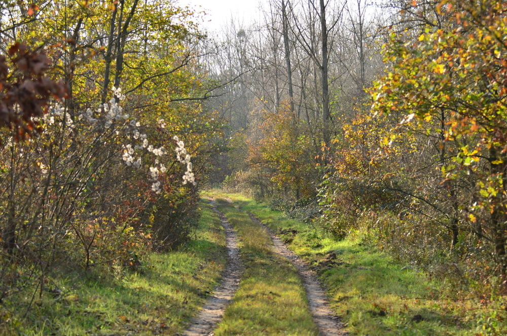
Die Glessener Höhe ist eine Abraumhalde des Braunkohlentagebaus, die zwischen 1955 und 1970 enstand und rekultiviert wurde. Die steilen Hänge sind mit Pappeln, Buchen, Birken, eichen und Fichten bewaldet.
Am Gipfelkreuz werden 204 m ü. NN erreicht. Bis zur Enstehung der Sophienhöhe, die ab 1978 aufgeschüttet wurde, war dies der höchste Punkt zwischen Eifel und Bergischem Land.
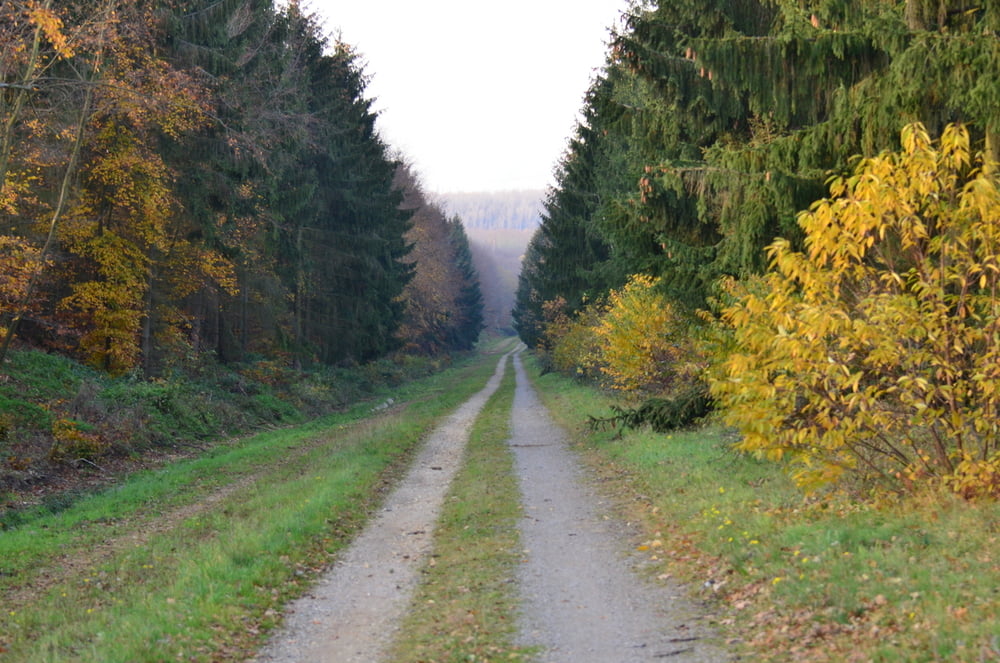
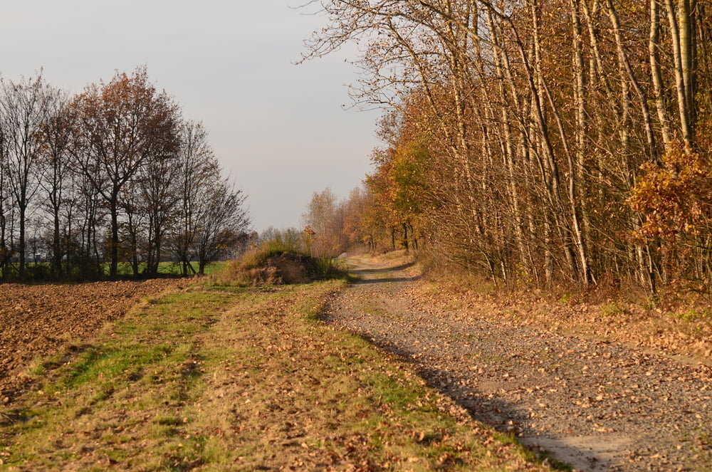
Die Wanderung führt über sehr ruhige Wege. Ideal für das Wandern mit Hund.
Galeria trasy
Mapa trasy i profil wysokości
Minimum height 111 m
Maximum height 164 m
More about the tour author

|
am287 |
Komentarze

Startpunkt ist der Wanderparkplatz an der B55 zwischen Kerpen Horrem und Königsdorf.
GPS tracks
Trackpoints-
GPX / Garmin Map Source (gpx) download
-
TCX / Garmin Training Center® (tcx) download
-
CRS / Garmin Training Center® (crs) download
-
Google Earth (kml) download
-
G7ToWin (g7t) download
-
TTQV (trk) download
-
Overlay (ovl) download
-
Fugawi (txt) download
-
Kompass (DAV) Track (tk) download
-
Karta trasy (pdf) download
-
Original file of the author (gpx) download
More about the tour author
|
|
am287 |
Add to my favorites
Remove from my favorites
Edit tags
Open track
My score
Rate