Login

Zapomniałeś swój login?

Cookies have to be accepted!
Your browser's cookie functionality is disabled. Please enable this functionality.

Not a member yet?

Register now
Login

Available for registred users only

Log in to use this feature.

Zapomniałeś swój login?

Cookies have to be accepted!
Your browser's cookie functionality is disabled. Please enable this functionality.

Not a member yet?

Register now
Filter
Kategorie
Advanced filters
  • Długość (km)
  • Wysokość
Zapisz filtr Reset filter

TrackRank

QRCode

Technical data

Długość12,5 km Wysokość78 m Way down58 m Czas trwania02:45 h:m Data09.05.2012
Oceny Author User Krajobraz Czynnik zadowolenia Kondycja Technika

Statystyka

552 Widoki 1 Ocena 28 Downloads / Pliki do pobrania 5.00 Przeciętnie
Rate
  • Karta trasy
  • Dojazd
  • Downloads / Pliki do pobrania
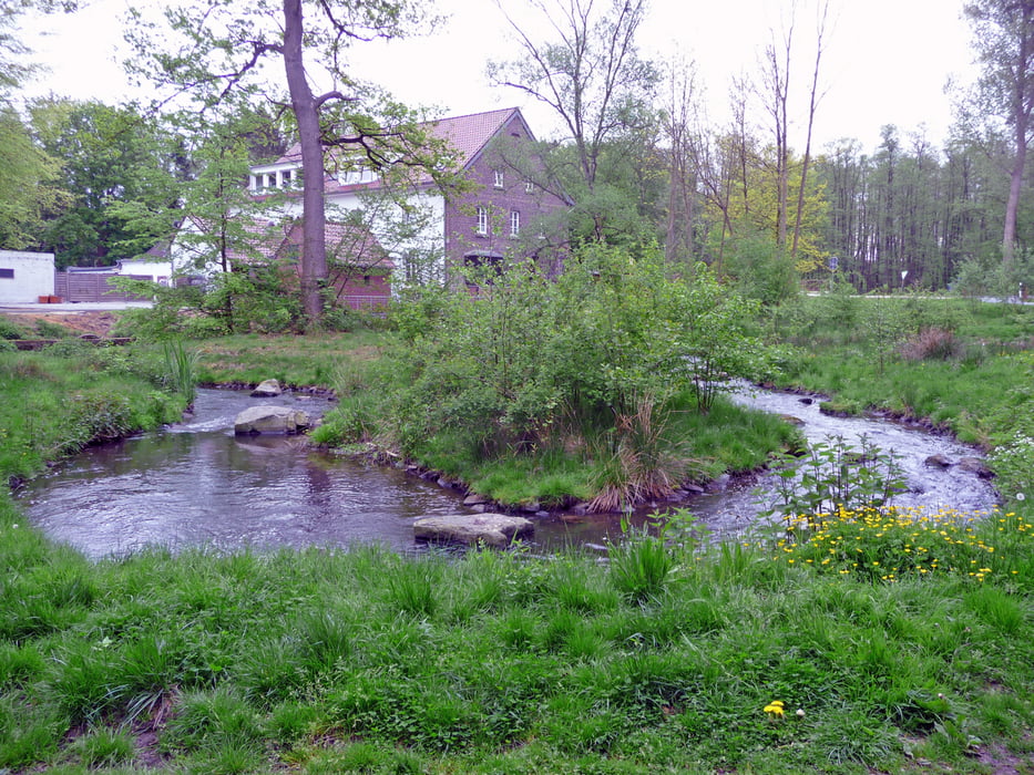
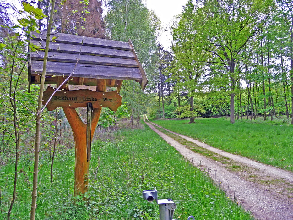
Schöne Strecke von oberhalb Lüttelforst zunächst durch Wald und später (ab Pannenmühle) an der Schwalm entlang wieder zum Ausgangspunkt.

Galeria trasy

Mapa trasy i profil wysokości

  • Open Street Map
  • Google
Minimum height 53 m Maximum height 120 m Widok szczegółowy

More about the tour author

hadihe
Member since 2012

Send private message

Komentarze

Von der Dülkener Straße (L 3 - Landstraße zwischen Schwalmtal und Rickelrath) rechts ab in die Sraße nach Lüttelforst (K 29). Nach ca. 300 m liegt rechts ein ausgeschilderter Wanderparkplatz.


GPS tracks

Trackpoints
  • GPX / Garmin Map Source (gpx) download
  • TCX / Garmin Training Center® (tcx) download
  • CRS / Garmin Training Center® (crs) download
  • Google Earth (kml) download
  • G7ToWin (g7t) download
  • TTQV (trk) download
  • Overlay (ovl) download
  • Fugawi (txt) download
  • Kompass (DAV) Track (tk) download
  • Karta trasy (pdf) download
  • Original file of the author (gpx) download

More about the tour author

hadihe
Member since 2012

Send private message
Share track
Add to my favorites
Remove from my favorites
Edit tags
My score
Rate
Trasa: Von Lüttelforst zur Pannenmühle und an der Schwalm entlang zurück
Rodzaj: Nordic walking
Długość: 12,5 km
Evaluated on:
Czas trwania:
Day(s)
Hour(s)
Minute(s)
Ocena: Krajobraz Czynnik zadowolenia Kondycja Technika