
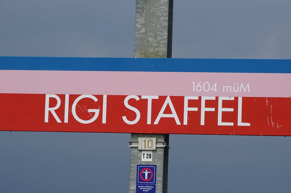

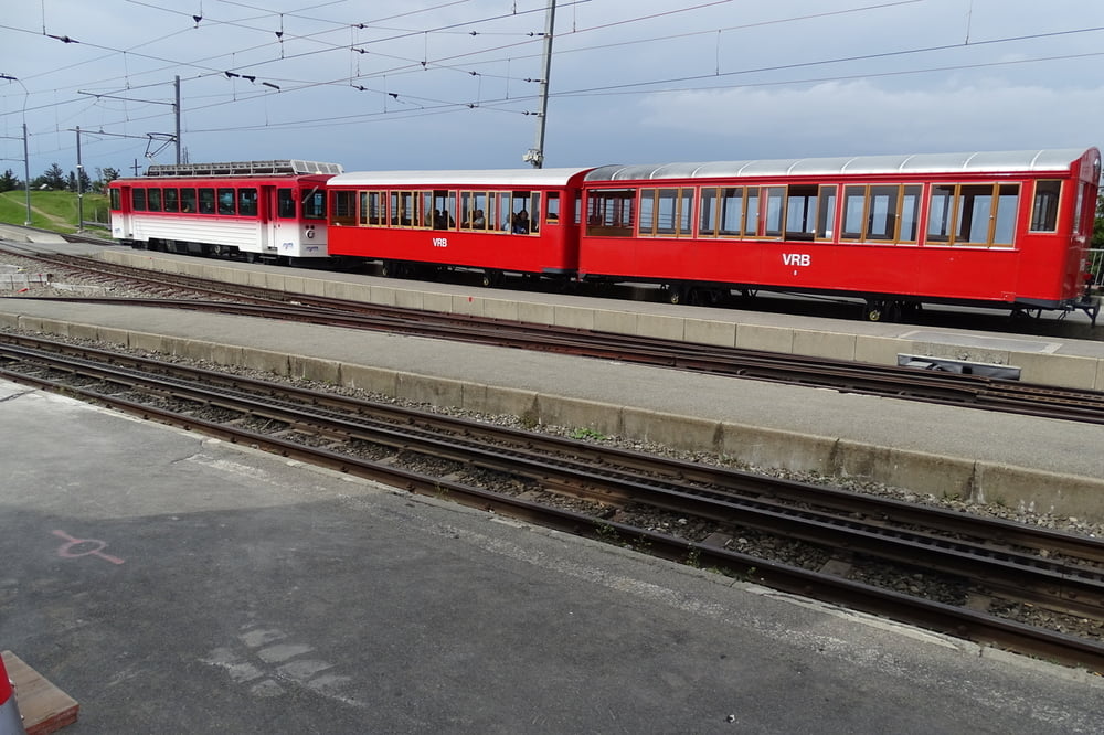
Die Rigi liegt am Vierwaldstättersee. Man kann sie wandernd, mit dem Zug oder der Seilbahn erklimmen. Wir sind mit dem Auto zur Seebodenalb hinaufgefahren (ca. 1020m). Im Uhrzeigersinn wird gestartet. Bis Rigi Staffel (1600m) ging es hinauf. Man kann einen Abstecher von etwa nach Rigi Kulm (ca 1800m) machen. Wir halten uns links und gehen Richtung First.Von dort über Rigi Kaltbad zum Chänzli. Von hier hat man eine schöne Aussicht auf den Vierwaldstättersee, nach Luzern und zum Bürgenstock. Von hier beginnt dann der Abstieg zum Seeboden und zum Parkplatz, um von dort die Heimfahrt anzutreten.
Galerija izletov

Zemljevid in višinski profil izleta
Minimum height 1019 m
Maximum height 1601 m
More about the tour author

|
civap |
Komentarji

In Küssnacht am Rigi die Seebodenstasse bis zum Ende auf einen Parkplatz fahren. Sie ist gut zu befahren und hat wo es eng wird gute Ausweichmöglichkeien.
Seebodenstrasse 40
6403 Küssnacht, Schweiz
47.082917, 8.448996
+47° 4' 58.50", +8° 26' 56.39
Poti GPS
Trackpoints-
GPX / Garmin Map Source (gpx) download
-
TCX / Garmin Training Center® (tcx) download
-
CRS / Garmin Training Center® (crs) download
-
Google Earth (kml) download
-
G7ToWin (g7t) download
-
TTQV (trk) download
-
Overlay (ovl) download
-
Fugawi (txt) download
-
Kompass (DAV) Track (tk) download
-
List z izleti (pdf) download
-
Original file of the author (gpx) download
More about the tour author
|
|
civap |
Add to my favorites
Remove from my favorites
Edit tags
Open track
My score
Rate