

Schwendi-Iltios-Stöfeli-Chäserrugg-Hinterrugg-Iltios-Schwendi
Eine tolle Bergwanderung durch eine sensationelle Gegend.
Wunderbares Abschlussbier in der Station Iltios und dann noch ein erholsames Bad im Schwendisee.
Der Parkplatz in Schwendi ist zwar gebührenpflichtig. Ist man zu mehreren unterwegs spart es aber trotzdem viel Geld.
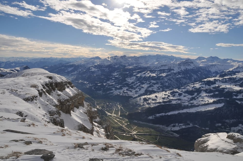
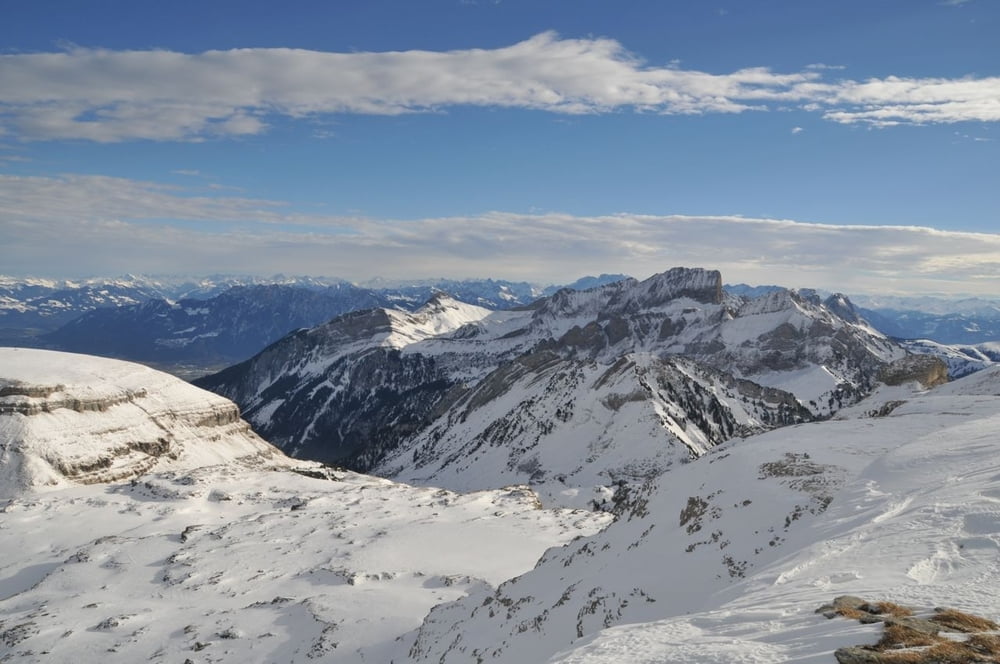
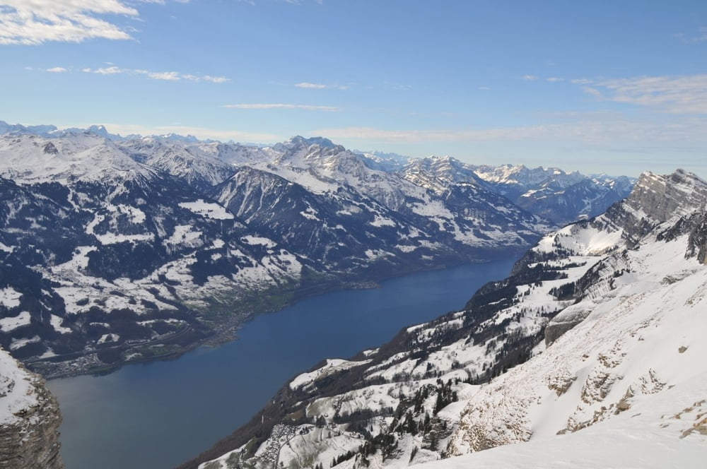
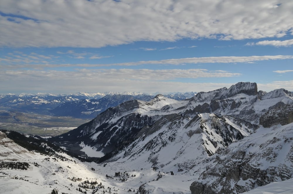
Bei gutem Wetter sind die Ausblicke ins Toggenburg, Säntismassiv, Walensee, Glarneralpen, Rheintal absolut einmalig.
Der Abstieg vom Hinterrugg kann sehr anspruchsvoll sein, so dass es eine gute Option sein kann, über den Hinterrugg den Aufstieg zu machen und über den Chäserrugg den Abstieg.
So oder so eine ganz phantastische Wanderung.
Galerija izletov
Zemljevid in višinski profil izleta
Minimum height 1106 m
Maximum height 2309 m
More about the tour author
|
|
goldohulk |
Komentarji

Von Wattwil Richtung Wildhaus. In Unterwasser rechts abbiegen in Richtung Schwendi.
Der Strasse folgen bis zum Parkplatz Schwendisee. Hier startet die Wanderung in Rtg. Iltios.
Poti GPS
Trackpoints-
GPX / Garmin Map Source (gpx) download
-
TCX / Garmin Training Center® (tcx) download
-
CRS / Garmin Training Center® (crs) download
-
Google Earth (kml) download
-
G7ToWin (g7t) download
-
TTQV (trk) download
-
Overlay (ovl) download
-
Fugawi (txt) download
-
Kompass (DAV) Track (tk) download
-
List z izleti (pdf) download
-
Original file of the author (gpx) download
More about the tour author
|
|
goldohulk |
Add to my favorites
Remove from my favorites
Edit tags
Open track
My score
Rate