Login

Si pozabil/a podatke za prijavo?

Cookies have to be accepted!
Your browser's cookie functionality is disabled. Please enable this functionality.

Not a member yet?

Register now
Login

Available for registred users only

Log in to use this feature.

Si pozabil/a podatke za prijavo?

Cookies have to be accepted!
Your browser's cookie functionality is disabled. Please enable this functionality.

Not a member yet?

Register now
Filter
Kategorije
Advanced filters
  • Dolžina (km)
  • Metri nadmorske višine
Shrani filter Reset filter

TrackRank

QRCode

Technical data

Dolžina7,0 km Metri nadmorske višine792 m Way down795 m Trajanje02:00 h:m Datum20.04.2017
Ocene Author Pokrajina Dejavnik zabave Kondicija Tehnika

Statistika

564 Pogledi Ocene 56 Prenosi Povprečje
Rate
  • List z izleti
  • Prihod
  • Prenosi

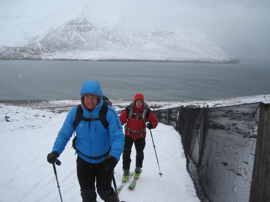
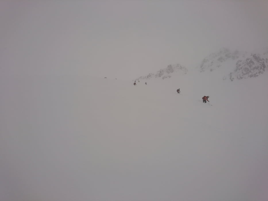
Das Tal hinauf, dann links abzweigen und im Karartigen Tal weiter ansteigen. Da der linke Ast der zum Gipfel des Mulakolla führt schon verspurt war hielten wir uns an den rechten Ast und drehten kurz unterhalb des Gipfelplteaus an den Felsen um (Schneesturm, kaum Sicht)
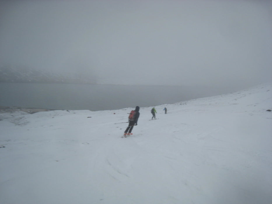
Abfahrt wie Anstieg

 Jahreszeit der Tour: Ende März

Galerija izletov

Zemljevid in višinski profil izleta

  • Open Street Map
  • Google
Minimum height 164 m Maximum height 858 m Prikaz podrobnosti

More about the tour author

Gi
Member since 2010

Send private message

Komentarji

Von Olafsfjördur in Richtung Dalvik fahren, gleich am Ortsausgang zweigt rechts eine ungeterte Straße ab, diese ca. 200m entlang zu Parkplatz


Poti GPS

Trackpoints
  • GPX / Garmin Map Source (gpx) download
  • TCX / Garmin Training Center® (tcx) download
  • CRS / Garmin Training Center® (crs) download
  • Google Earth (kml) download
  • G7ToWin (g7t) download
  • TTQV (trk) download
  • Overlay (ovl) download
  • Fugawi (txt) download
  • Kompass (DAV) Track (tk) download
  • List z izleti (pdf) download
  • Original file of the author (gpx) download

More about the tour author

Gi
Member since 2010

Send private message
Share track
Add to my favorites
Remove from my favorites
Edit tags
My score
Rate
Izlet: Mulakolla
Vrsta: Smuči
Dolžina: 7,0 km
Evaluated on:
Trajanje:
Day(s)
Hour(s)
Minute(s)
Ocena: Pokrajina Dejavnik zabave Kondicija Tehnika