


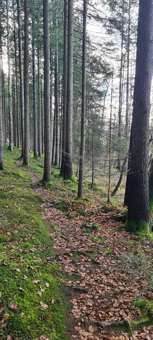
Sehr schöne, sehr lange Wanderung zum und durch das tolle Kupferbachtal. Los gehts durch die Felder und den Wald bei Loibersdorf. Die Wege sind Forstwege, so dass sie auch bei schlechtem Wetter einigermaßen zu laufen sind. Insgesamt gibts schon schlammige Schuhe, aber man versinkt jetzt nicht.
Im Kupferbachtal ist ein superschöner Trail entlang des Baches. Der ist auch etwas anspruchsvoller zu gehen - Trail halt.
Zurück gehts dann in Unterlaus den Hang hoch, durch den Wald um das Kupferbachtal nochmal zu durchqueren und dann vom Bucher Hof zurück nach Kleinhelfendorf zu gehen. Dieser Weg ist quasi komplett im Wald.
Further information at
https://de.wikipedia.org/wiki/KupferbachtalGalerija izletov

Zemljevid in višinski profil izleta
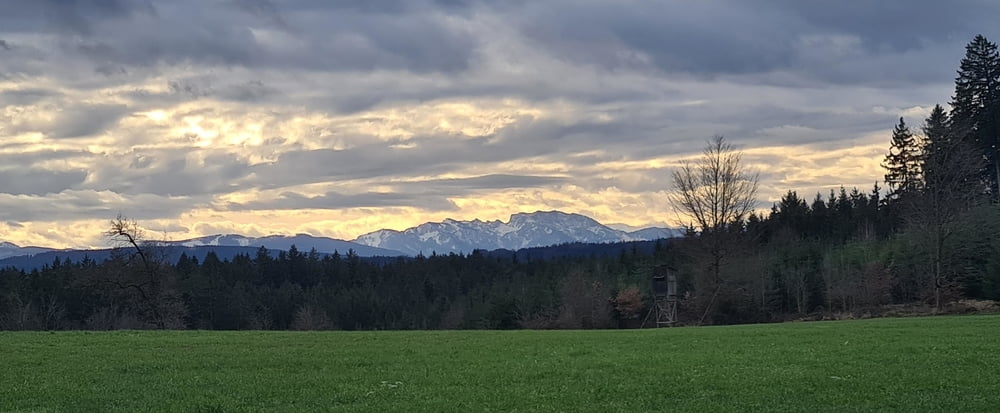
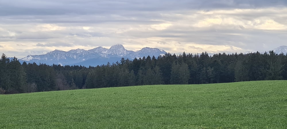
Minimum height 499 m
Maximum height 761 m
More about the tour author

|
smartandem |
Komentarji

Auf der Rosenheimer Landstraße an Aying und Peiß vorbei bis Kleinhelfendorf fahren und links abbiegen. Dort an der Kirche parken. Die Parkplätze sind kostenfrei.
Alternativ kann man auch am Lauser Weiher parken. Auch dort sind die Parkplätze kostenfrei.
Poti GPS
Trackpoints-
GPX / Garmin Map Source (gpx) download
-
TCX / Garmin Training Center® (tcx) download
-
CRS / Garmin Training Center® (crs) download
-
Google Earth (kml) download
-
G7ToWin (g7t) download
-
TTQV (trk) download
-
Overlay (ovl) download
-
Fugawi (txt) download
-
Kompass (DAV) Track (tk) download
-
List z izleti (pdf) download
-
Original file of the author (gpx) download
More about the tour author
|
|
smartandem |
Add to my favorites
Remove from my favorites
Edit tags
Open track
My score
Rate