


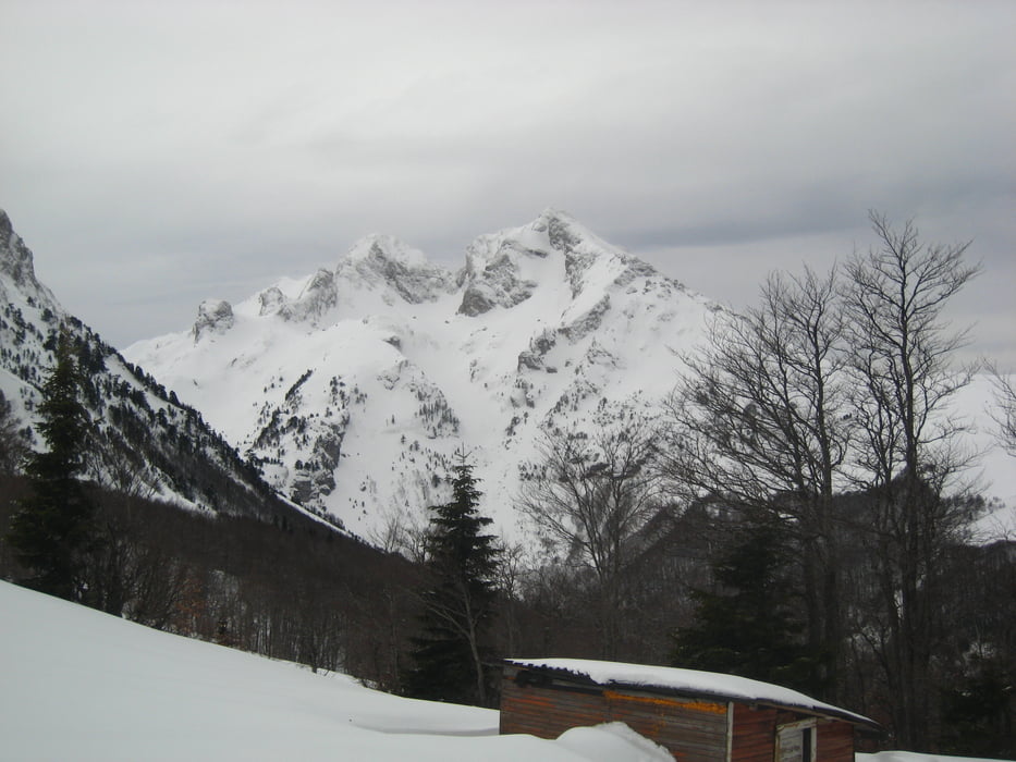
Vom Tresnjevik Pass über die Forststraße flach zum Katun Stavna, dann die Flanke zum Kom Vasojevicki empor. Abbruch auf 2100 m wegen Sturm und Schneeverfrachtungen.
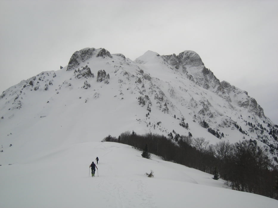
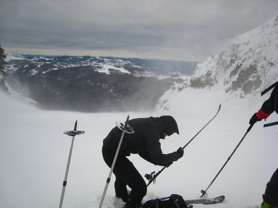
Abfahrt ins Ljubastica Tal durch lichten Wald und Aufstieg erst entlang des Baches, dann nach rechts in das Kar zwischen Kom Kucki und Ljevorijecki Kom. Abbruch auf ca. 2000m wegen Lawinengefahr und Sturm.
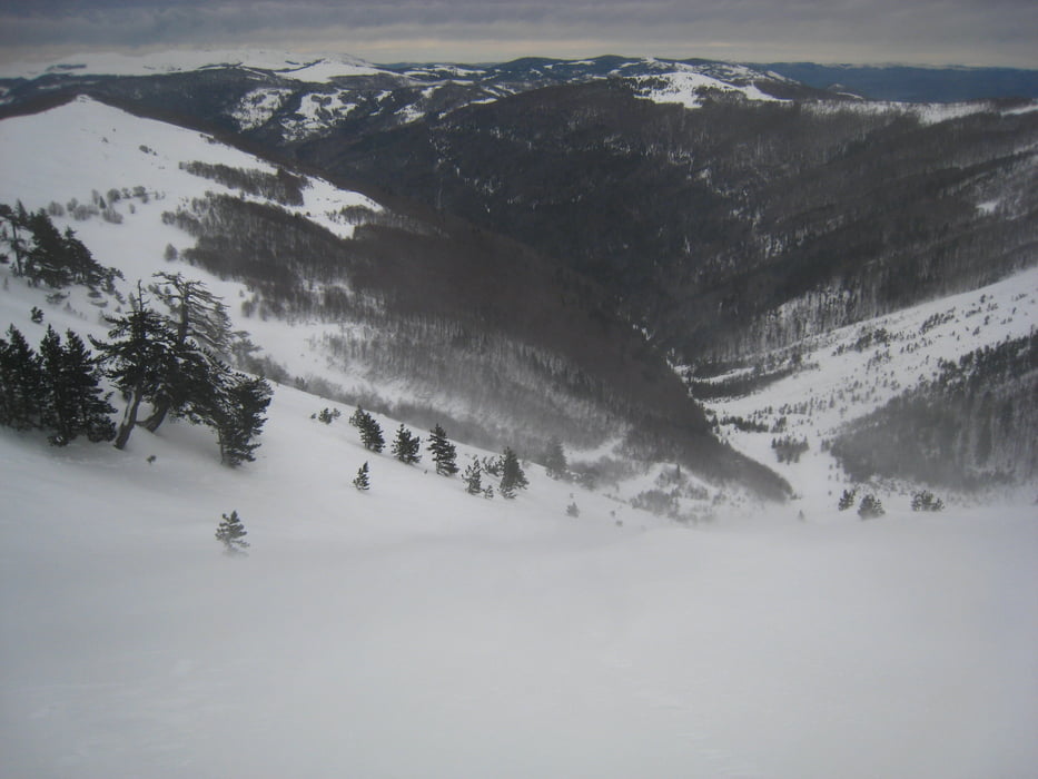
Abfahrt durchs Bachbett bis zur Forststraße, dieser folgend zurück zum Tresnjevik-Pass
Galerija izletov
Zemljevid in višinski profil izleta
Minimum height 1371 m
Maximum height 2131 m

Komentarji

von Kolasin nach Süden auf schlechter Straße zum Tresnjevik-Pass. Ab dem Abzweig ins Ljubastica-Tal (gelbe Wegtafel) auf schlecht geräumter Straße abenteuerlich bis zum Pass.
Die Fahrt bis zum Pass bringt keinen wesentlichen Zeitgewinn. Aufstieg durchs Ljubastica Tal ist genauso gut möglich und erspart den langen Gegenanstieg am Rückweg.
Poti GPS
Trackpoints-
GPX / Garmin Map Source (gpx) download
-
TCX / Garmin Training Center® (tcx) download
-
CRS / Garmin Training Center® (crs) download
-
Google Earth (kml) download
-
G7ToWin (g7t) download
-
TTQV (trk) download
-
Overlay (ovl) download
-
Fugawi (txt) download
-
Kompass (DAV) Track (tk) download
-
List z izleti (pdf) download
-
Original file of the author (gpx) download
Add to my favorites
Remove from my favorites
Edit tags
Open track
My score
Rate