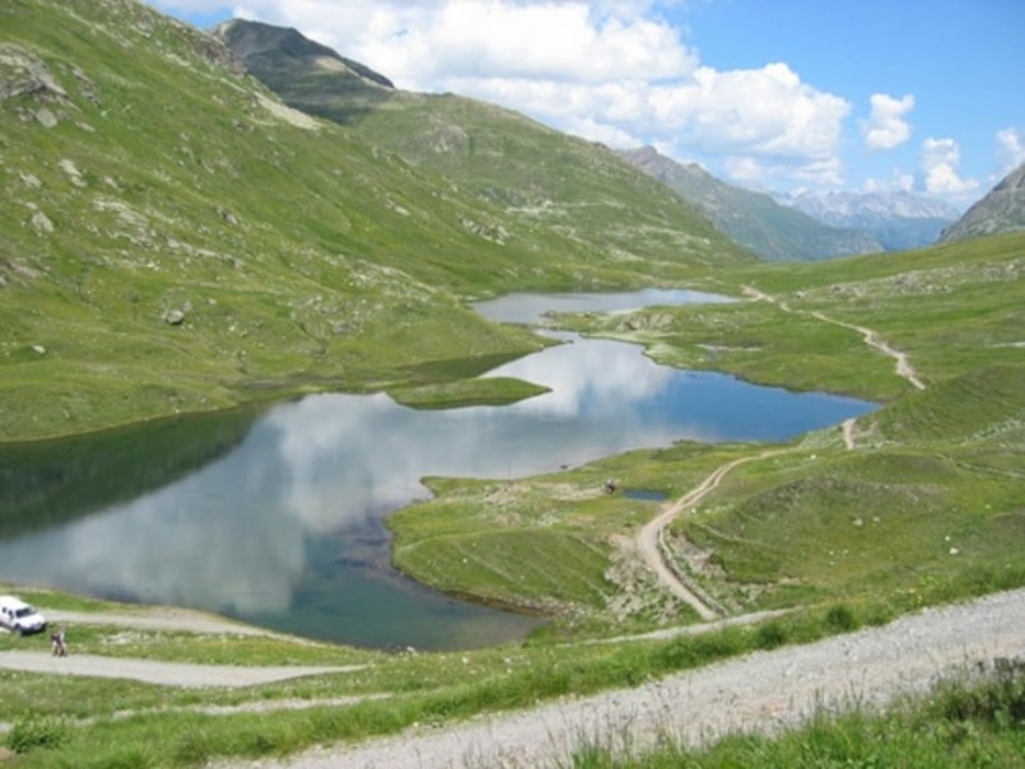
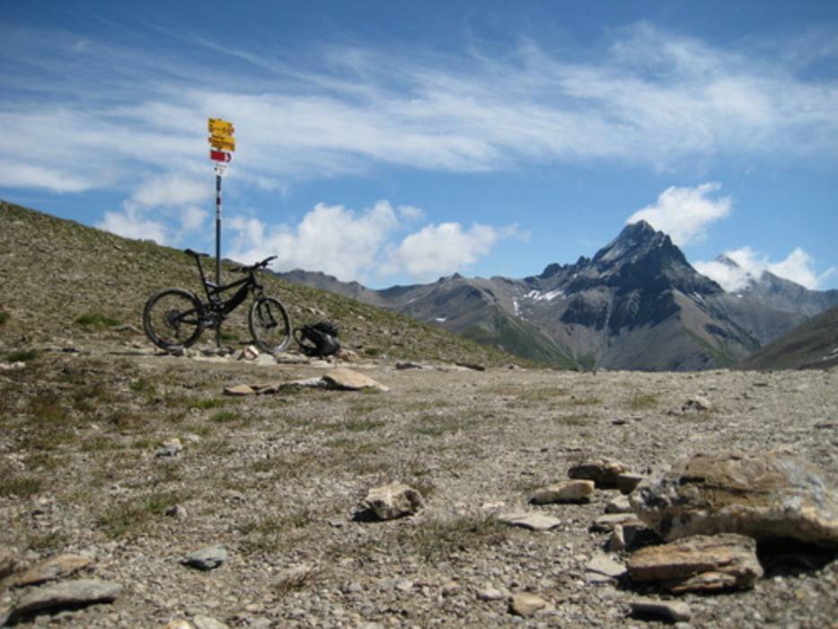
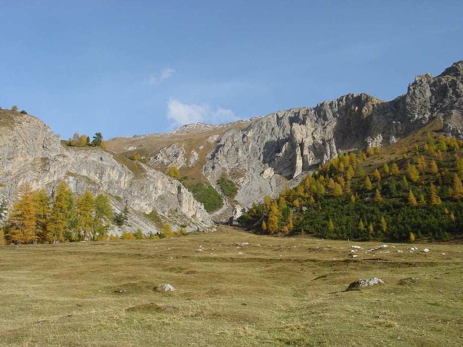
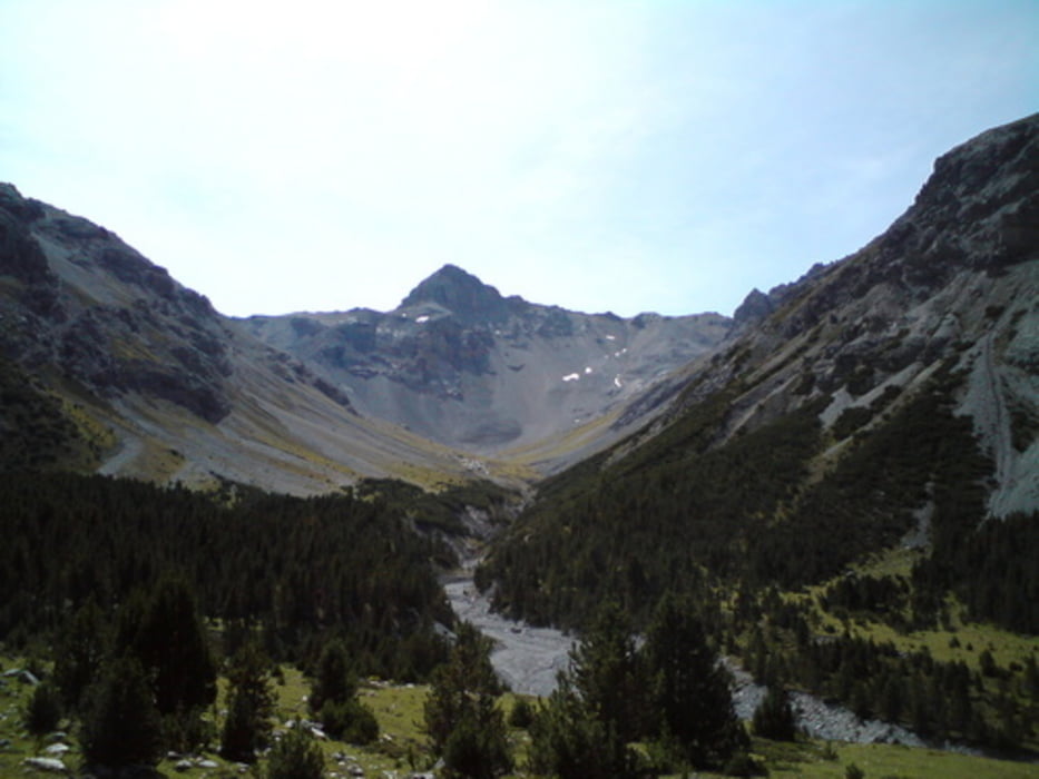
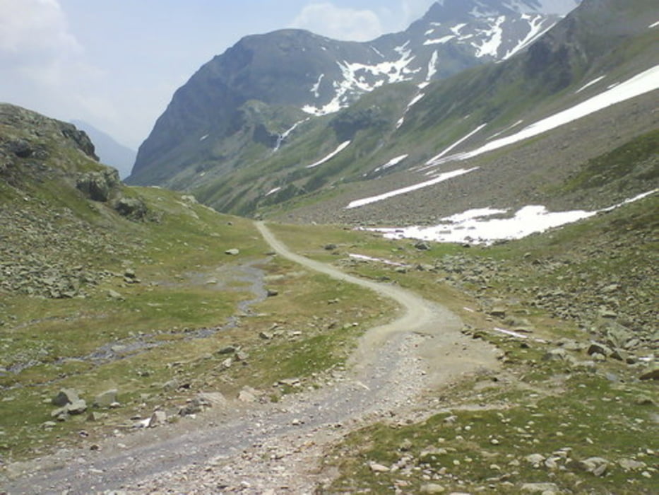
Tour 2010 St. Anton - Tirano
St. Anton (A) - Galltür (A) - Sur En (CH) - Lü (CH) - Valdidentro(I) - Tirano (I)
Tagesetappen:
1. TAG St. Anton (A) - Galltür (A)
Tachostand(ca.): 23HÖHE min:1440 HÖHE max:2270 Höhenmeter (minimum): 830
2. TAG Galltür (A) - Sur En (CH)
Tachostand(ca.): 72HÖHE min:1380 HÖHE max:2570 Höhenmeter (minimum): 1200
3. TAG Sur En (CH) - Lü (CH)
Tachostand(ca.):106HÖHE min:1120 HÖHE max:2240 Höhenmeter (minimum): 1120
4.TAG Lü (CH) - Valdidentro(I)
Tachostand(ca.):132HÖHE min:1520 HÖHE max:2230 Höhenmeter (minimum): 710
5.TAG Valdidentro(I) - Tirano (I)
Tachostand(ca.):180HÖHE min:1490 HÖHE max:2280 Höhenmeter (minimum): 830
Zum Zug nach Tirano 190
(Weblinks geändert 17.08.2013) Views: 465 Downloads: 9
Ansicht im Google Earth
222500.test-my-website.de/WWW/TRANSALP2010-csv.kml
Unsere Übernachtungen:
222500.test-my-website.de/WWW/Uebernachtungen.doc
Mögliche Erweiterung (schwerer)
Rückfahrt mit Zug möglich: von Dimaro - Mezzocorona - Brenner
RÜCKFAHRT per Zug nach St. Anton möglich:
222500.test-my-website.de/WWW/Rueckfahrt_nach_St-Anton.GIF
HINWEIS
Alle Texte unter den Bildtiteln können kopiert werden und direkt zur Eingabe im Google verwendet werden.
Die Höhenmeter wurden per Programm ermittelt
Galerija izletov
Zemljevid in višinski profil izleta
Komentarji

St. Anton Tirol
RÜCKFAHRT per Zug nach St. Anton möglich:
222500.test-my-website.de/WWW/Rueckfahrt_nach_St-Anton.GIF
Poti GPS
Trackpoints-
GPX / Garmin Map Source (gpx) download
-
TCX / Garmin Training Center® (tcx) download
-
CRS / Garmin Training Center® (crs) download
-
Google Earth (kml) download
-
G7ToWin (g7t) download
-
TTQV (trk) download
-
Overlay (ovl) download
-
Fugawi (txt) download
-
Kompass (DAV) Track (tk) download
-
List z izleti (pdf) download
-
Original file of the author (gpx) download

