


1 Schlins-Weesen
Schlins-Meiningen-Eichberg-Weissbad-Schwägalp-
Luttertannen-Stein-VorderHöhi-Weesen
2 Weesen-Muotathal
Weesen-Obersee-Längeneggpass-Pragel-Muotathal
3 Muotathal-AlpeHobiel
Muotathal-Höchi-Sissikon-Flüelen-Surenenpass-
AlpeHobiel
4 AlpeHobiel-Schwarzental
AlpeHobiel-Engelberg-Trübsee-Jochpass-Schwarzental
5 Schwarzental-Faulensee
Schwarzental-Innertkirchen-Rosenlaui-gr.Scheidegg-Bort-
Grindelwald-kl.Scheidegg-Wengen-Lauterbrunnen-
Wilderswil-Faulensee
6 Faulensee-Montet
Faulensee-Schwarzenburg-Fribourg-Montet
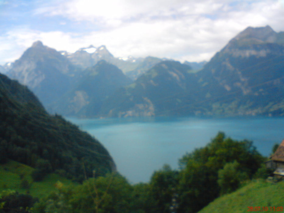
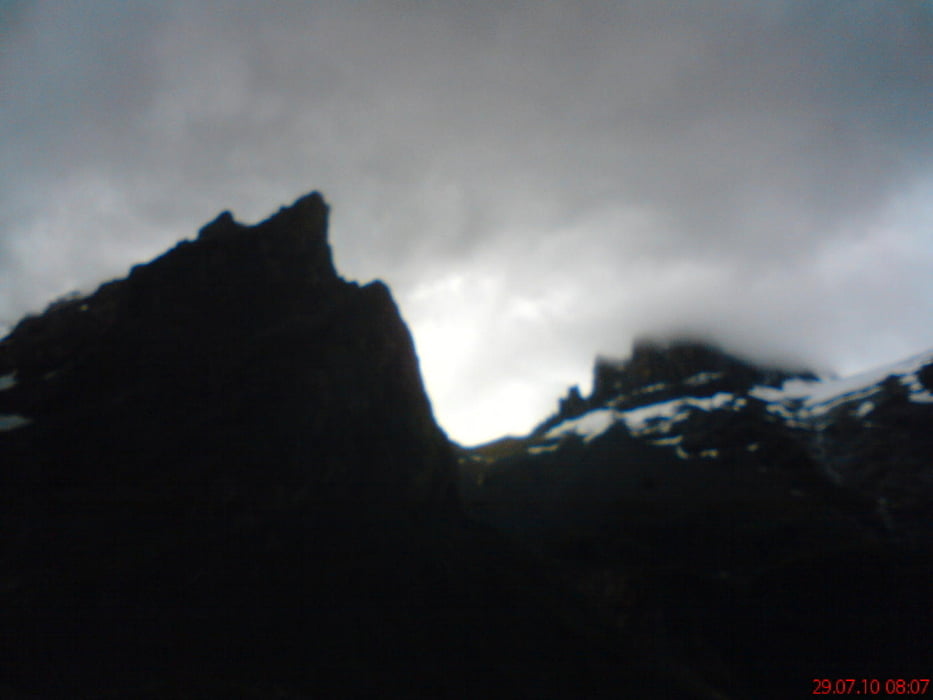
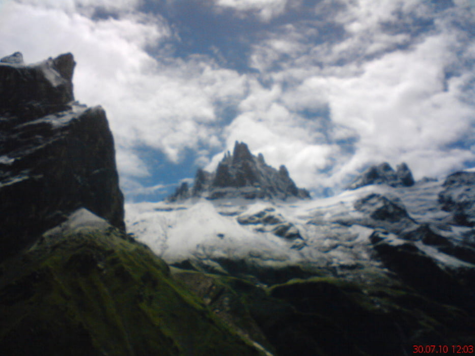
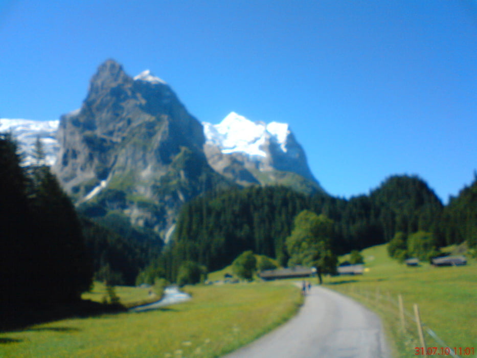
Galerija izletov
Zemljevid in višinski profil izleta
Minimum height 412 m
Maximum height 2291 m
More about the tour author
|
|
mitter |
Komentarji

Mit dem Zug von Wien nach Feldkirch.
Poti GPS
Trackpoints-
GPX / Garmin Map Source (gpx) download
-
TCX / Garmin Training Center® (tcx) download
-
CRS / Garmin Training Center® (crs) download
-
Google Earth (kml) download
-
G7ToWin (g7t) download
-
TTQV (trk) download
-
Overlay (ovl) download
-
Fugawi (txt) download
-
Kompass (DAV) Track (tk) download
-
List z izleti (pdf) download
-
Original file of the author (gpx) download
More about the tour author
|
|
mitter |
Add to my favorites
Remove from my favorites
Edit tags
Open track
My score
Rate